Gopālganj night lights from space
Night Light of Gopālganj (Bihar) from space (India) Src. Average luminocity for 10x10km area is 62.8125% and for 50x50km: 14.8794%.
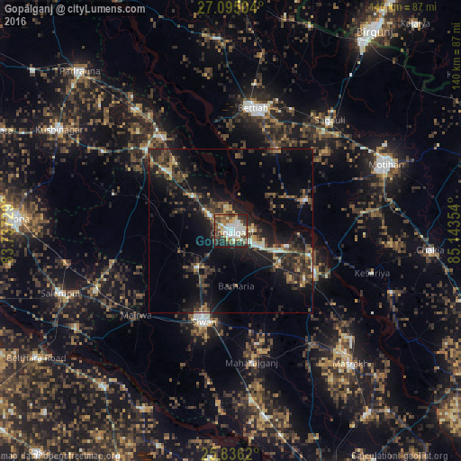
Analysis of Gopālganj night lights 2016
Square area 10x10 km:
 14.96%
90-99
17.23%80-89
6.63%70-79
5.49%60-69
4.92%50-59
11.74%40-49
8.33%30-39
10.8%20-29
15.72%10-19
4.17%0-9
0%Square area 50x50 km:
1.1%90-99
1.55%80-89
1.38%70-79
1.18%60-69
1.39%50-59
2.71%40-49
3.59%30-39
4.23%20-29
6.78%10-19
12.31%0-9
63.77%Clear (daylight) street map image can be seen on geolist.org.
Map coordinates:
27° 5' 42.1" North, 83° 44' 14.2" East
26° 28' 2.4" North, 84° 26' 25.5" East
25° 50' 10.3" North, 85° 8' 36.7" East
Some cities around Gopālganj sort by population:
• Bettiah
37.8 km =23.5 mi,  9°
9°
• Siwān
28.7 km =17.8 mi,  197°
197°
• Mothīhāri
51.5 km =32 mi,  66°
66°
• Barauli
17.4 km =10.8 mi,  123°
123°
• Sagauli
44.7 km =27.8 mi,  42°
42°
• Lar
55.4 km =34.4 mi,  238°
238°
• Mahārājgani
40.2 km =25 mi,  170°
170°
• Mairwa
38 km =23.6 mi,  226°
226°
1270965 (p: 63,725)
Sources (retrieved 2019-11-25):
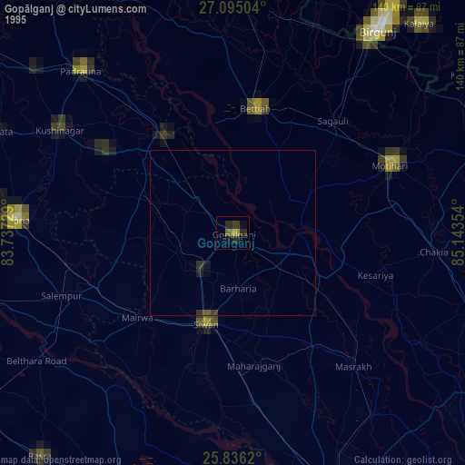
» NASA, Earths city lights 1995
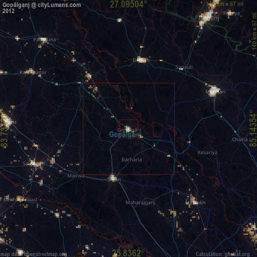
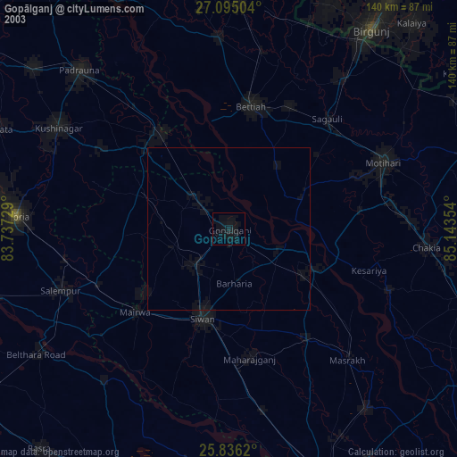
» NASA city lights 2003
» Earth at Night: Flat Maps 2012, 2016