Mothīhāri night lights from space
Night Light of Mothīhāri (Bihar) from space (India) Src. Average luminocity for 10x10km area is 55.2178% and for 50x50km: 10.3414%.
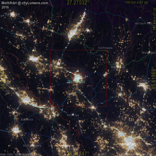
Analysis of Mothīhāri night lights 2016
Square area 10x10 km:
 14.96%
90-99
11.93%80-89
3.6%70-79
6.06%60-69
3.79%50-59
8.71%40-49
8.9%30-39
8.52%20-29
20.64%10-19
12.88%0-9
0%Square area 50x50 km:
0.79%90-99
0.8%80-89
0.55%70-79
0.78%60-69
1.06%50-59
1.95%40-49
2.67%30-39
3.1%20-29
4.71%10-19
9.3%0-9
74.28%Clear (daylight) street map image can be seen on geolist.org.
Map coordinates:
27° 16' 31.2" North, 84° 12' 48.4" East
26° 38' 55" North, 84° 54' 59.6" East
26° 1' 6.5" North, 85° 37' 10.9" East
Some cities around Mothīhāri sort by population:
• Birgañj, NP
41.1 km =25.5 mi,  355°
355°
• Raxaul
37.4 km =23.2 mi,  349°
349°
• Bairāgnia
36.9 km =22.9 mi,  73°
73°
• Dhāka
25.1 km =15.6 mi,  83°
83°
• Sagauli
21.4 km =13.3 mi,  306°
306°
• Gaur, NP
38.2 km =23.7 mi, 70°
• Sheohar
40.4 km =25.1 mi,  111°
111°
• Chākia
28.9 km =18 mi,  153°
153°
1262710 (p: 112,144)
Sources (retrieved 2019-11-25):
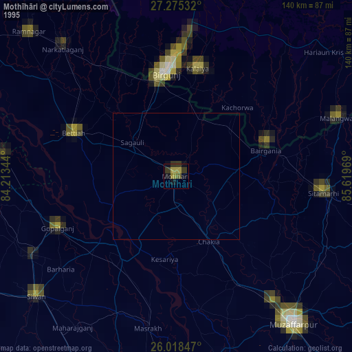
» NASA, Earths city lights 1995
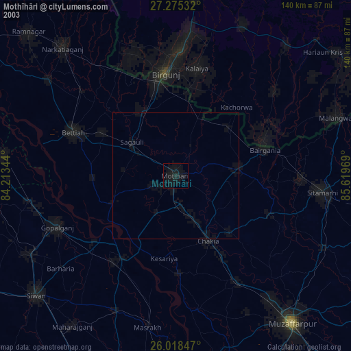
» NASA city lights 2003
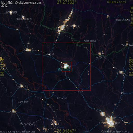
» Earth at Night: Flat Maps 2012, 2016