Khāchrod night lights from space
Night Light of Khāchrod (Madhya Pradesh) from space (India) Src. Average luminocity for 10x10km area is 8.233% and for 50x50km: 8.2865%.
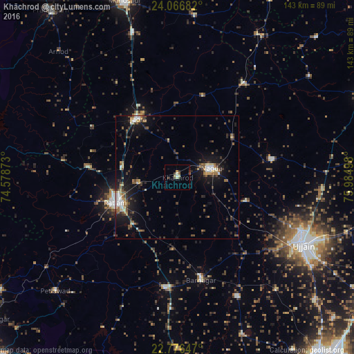
Analysis of Khāchrod night lights 2016
Square area 10x10 km:
 0.19%
0.19%90-99
1.33%80-89
2.27%70-79
1.14%60-69
0%50-59
0.76%40-49
1.89%30-39
1.52%20-29
1.14%10-19
0.95%0-9
88.83%Square area 50x50 km:
0.56%90-99
1.17%80-89
0.78%70-79
0.65%60-69
1%50-59
1.4%40-49
1.6%30-39
1.91%20-29
2.82%10-19
6.5%0-9
81.61%Clear (daylight) street map image can be seen on geolist.org.
Map coordinates:
24° 4' 0.6" North, 74° 34' 43.4" East
23° 25' 23.6" North, 75° 16' 54.7" East
22° 46' 35.3" North, 75° 59' 5.9" East
Some cities around Khāchrod sort by population:
• Ratlām
26.7 km =16.6 mi,  247°
247°
• Nagda
14.4 km =8.9 mi,  74°
74°
• Jaorā
28.6 km =17.8 mi,  326°
326°
• Unhel
29.9 km =18.6 mi,  108°
108°
• Tāl
34.6 km =21.5 mi,  17°
17°
• Namli
23 km =14.3 mi,  280°
280°
• Piploda
17.5 km =10.9 mi,  117°
117°
• Gogāpur
28.2 km =17.5 mi,  58°
58°
1267203 (p: 31,825)
Sources (retrieved 2019-11-25):
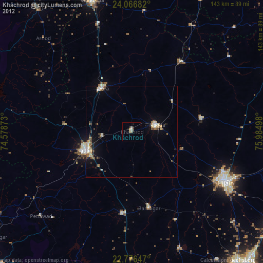
» Earth at Night: Flat Maps 2012, 2016