Rāpar night lights from space
Night Light of Rāpar (Gujarat) from space (India) Src. Average luminocity for 10x10km area is 10.3929% and for 50x50km: 1.6311%.
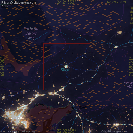
Analysis of Rāpar night lights 2016
Square area 10x10 km:
 1.59%
1.59%90-99
0.79%80-89
0.79%70-79
0.79%60-69
3.17%50-59
1.59%40-49
1.79%30-39
2.18%20-29
0%10-19
1.59%0-9
85.71%Square area 50x50 km:
0.09%90-99
0.09%80-89
0.13%70-79
0.2%60-69
0.36%50-59
0.36%40-49
0.4%30-39
0.44%20-29
0.17%10-19
0.44%0-9
97.34%Clear (daylight) street map image can be seen on geolist.org.
Map coordinates:
24° 12' 55.9" North, 69° 56' 38.6" East
23° 34' 21.6" North, 70° 38' 49.8" East
22° 55' 35.9" North, 71° 21' 1.1" East
Some cities around Rāpar sort by population:
• Gāndhīdhām
75.6 km =47 mi,  223°
223°
• Morbi
86.2 km =53.6 mi,  166°
166°
• Anjār
81.4 km =50.6 mi,  231°
231°
• Rādhanpur
101.7 km =63.2 mi,  73°
73°
• Halvad
82.5 km =51.3 mi,  138°
138°
• Kāndla
74.4 km =46.2 mi, 216°
• Bhachāu
43.5 km =27 mi, 225°
• Jodiya Bandar
102.2 km =63.5 mi,  201°
201°
1258406 (p: 21,507)
Sources (retrieved 2019-11-25):
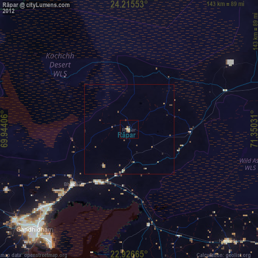
» Earth at Night: Flat Maps 2012, 2016