Rādhanpur night lights from space
Night Light of Rādhanpur (Gujarat) from space (India) Src. Average luminocity for 10x10km area is 11.0556% and for 50x50km: 1.6107%.
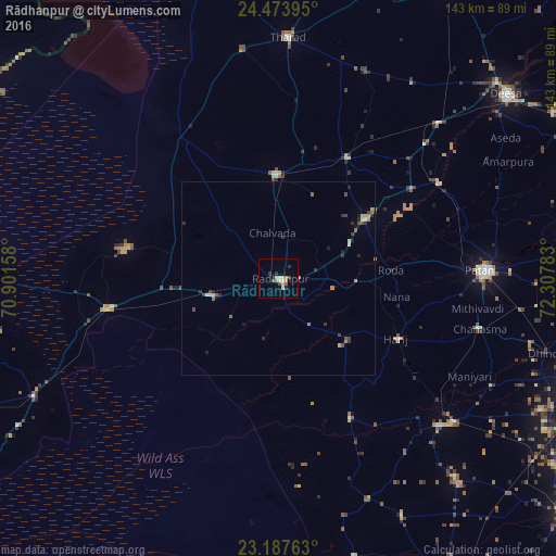
Analysis of Rādhanpur night lights 2016
Square area 10x10 km:
 0.4%
0.4%90-99
1.39%80-89
2.98%70-79
1.59%60-69
1.59%50-59
0.79%40-49
2.38%30-39
1.59%20-29
0.79%10-19
0.79%0-9
85.71%Square area 50x50 km:
0.02%90-99
0.23%80-89
0.23%70-79
0.26%60-69
0.22%50-59
0.23%40-49
0.33%30-39
0.36%20-29
0.39%10-19
0.29%0-9
97.45%Clear (daylight) street map image can be seen on geolist.org.
Map coordinates:
24° 28' 26.2" North, 70° 54' 5.7" East
23° 49' 56.6" North, 71° 36' 16.9" East
23° 11' 15.5" North, 72° 18' 28.2" East
Some cities around Rādhanpur sort by population:
• Pātan
53.4 km =33.2 mi,  87°
87°
• Dīsa
75 km =46.6 mi,  51°
51°
• Siddhapur
78.6 km =48.8 mi,  83°
83°
• Un
17.9 km =11.1 mi,  69°
69°
• Tharād
62.7 km =39 mi,  1°
1°
• Hārij
34.4 km =21.4 mi,  116°
116°
• Chānasma
53.3 km =33.1 mi,  104°
104°
• Māndal
68.4 km =42.5 mi,  152°
152°
1259069 (p: 35,457)
Sources (retrieved 2019-11-25):
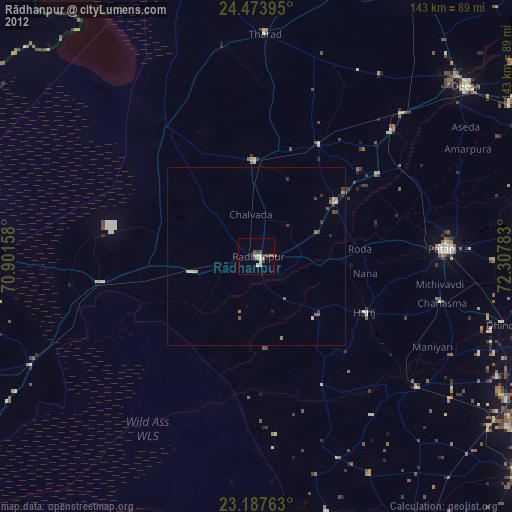
» Earth at Night: Flat Maps 2012, 2016