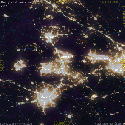
Kuju night lights from space
Night Light of Kuju (Jharkhand) from space (India) Src. Average luminocity for 10x10km area is 79.6766% and for 50x50km: 37.7847%.
Analysis of Kuju night lights 2016
Square area 10x10 km:
 19.05%
90-99
21.63%80-89
11.9%70-79
7.94%60-69
22.22%50-59
15.28%40-49
1.98%30-39
0%20-29
0%10-19
0%0-9
0%Square area 50x50 km:
7.11%90-99
8.31%80-89
3.6%70-79
3.77%60-69
4.88%50-59
6.27%40-49
5.7%30-39
6.57%20-29
9.78%10-19
14.83%0-9
29.16%Clear (daylight) street map image can be seen on geolist.org.
Map coordinates:
24° 22' 2.9" North, 84° 48' 25.6" East
23° 43' 31.3" North, 85° 30' 36.8" East
23° 4' 48.3" North, 86° 12' 48.1" East
Some cities around Kuju sort by population:
• Ranchi
47.2 km =29.3 mi,  205°
205°
• Bokāro
45.9 km =28.5 mi,  81°
81°
• Hazāribāgh
33.3 km =20.7 mi,  333°
333°
• Rāmgarh
10.6 km =6.6 mi,  173°
173°
• Gumia
33 km =20.5 mi, 75°
• Barkā Kānā
12.4 km =7.7 mi,  200°
200°
• Kānke
37.6 km =23.4 mi, 210°
• Rāy
46.6 km =29 mi,  264°
264°
1265773 (p: 19,390)
Sources (retrieved 2019-11-25):
» Earth at Night: Flat Maps 2012, 2016