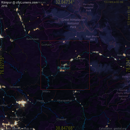
Rāmpur night lights from space
Night Light of Rāmpur (Himachal Pradesh) from space (India) Src. Average luminocity for 10x10km area is 5.0804% and for 50x50km: 0.9032%.
Analysis of Rāmpur night lights 2016
Square area 10x10 km:
 0%
0%90-99
0.35%80-89
0%70-79
0%60-69
0%50-59
1.75%40-49
2.1%30-39
2.1%20-29
3.15%10-19
0.35%0-9
90.21%Square area 50x50 km:
0.04%90-99
0.08%80-89
0.03%70-79
0.15%60-69
0.16%50-59
0.15%40-49
0.32%30-39
0.22%20-29
0.31%10-19
0.1%0-9
98.44%Clear (daylight) street map image can be seen on geolist.org.
Map coordinates:
32° 2' 50.4" North, 76° 55' 39.9" East
31° 26' 57.9" North, 77° 37' 51.1" East
30° 50' 51.6" North, 78° 20' 2.4" East
Some cities around Rāmpur sort by population:
• Shimla
58.5 km =36.4 mi,  228°
228°
• Solan
78 km =48.5 mi,  219°
219°
• Mandi
72.3 km =44.9 mi,  293°
293°
• Sundarnagar
69.5 km =43.2 mi,  277°
277°
• Kulu
75.1 km =46.7 mi,  318°
318°
• Bilaspur
84 km =52.2 mi,  260°
260°
• Rohru
29.9 km =18.6 mi,  156°
156°
• Sabāthu
80.5 km =50 mi, 229°
1258596 (p: 6,206)
Sources (retrieved 2019-11-25):
» Earth at Night: Flat Maps 2012, 2016