Kulu night lights from space
Night Light of Kulu (Himachal Pradesh) from space (India) Src. Average luminocity for 10x10km area is 5.764% and for 50x50km: 1.4235%.
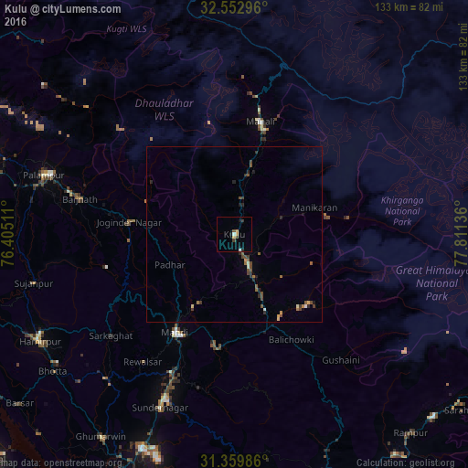
Analysis of Kulu night lights 2016
Square area 10x10 km:
 0.52%
0.52%90-99
0.87%80-89
0.17%70-79
1.05%60-69
0.87%50-59
0.35%40-49
1.4%30-39
1.05%20-29
0.7%10-19
2.1%0-9
90.91%Square area 50x50 km:
0.04%90-99
0.13%80-89
0.12%70-79
0.15%60-69
0.22%50-59
0.3%40-49
0.5%30-39
0.31%20-29
0.39%10-19
0.27%0-9
97.58%Clear (daylight) street map image can be seen on geolist.org.
Map coordinates:
32° 33' 10.7" North, 76° 24' 18.4" East
31° 57' 30.1" North, 77° 6' 29.6" East
31° 21' 35.5" North, 77° 48' 40.9" East
Some cities around Kulu sort by population:
• Mandi
32 km =19.9 mi,  211°
211°
• Sundarnagar
50.8 km =31.6 mi,  202°
202°
• Hamīrpur
63 km =39.1 mi,  241°
241°
• Kyelang
68.7 km =42.7 mi,  353°
353°
• Manāli
33.8 km =21 mi,  10°
10°
• Tīra Sujānpur
58.6 km =36.4 mi,  256°
256°
• Ghumārwīn
68.4 km =42.5 mi, 212°
• Jogindarnagar
30.3 km =18.8 mi,  276°
276°
1265709 (p: 19,831)
Sources (retrieved 2019-11-25):
» Earth at Night: Flat Maps 2012, 2016