Mandi night lights from space
Night Light of Mandi (Himachal Pradesh) from space (India) Src. Average luminocity for 10x10km area is 10.2271% and for 50x50km: 2.2896%.
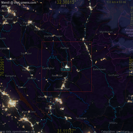
Analysis of Mandi night lights 2016
Square area 10x10 km:
 1.1%
1.1%90-99
3.3%80-89
1.1%70-79
0.37%60-69
0%50-59
1.65%40-49
2.01%30-39
0.18%20-29
1.1%10-19
1.65%0-9
87.55%Square area 50x50 km:
0.07%90-99
0.38%80-89
0.15%70-79
0.16%60-69
0.26%50-59
0.54%40-49
0.67%30-39
0.42%20-29
0.61%10-19
0.48%0-9
96.26%Clear (daylight) street map image can be seen on geolist.org.
Map coordinates:
32° 18' 29.3" North, 76° 13' 46.6" East
31° 42' 43" North, 76° 55' 57.8" East
31° 6' 42.7" North, 77° 38' 9.1" East
Some cities around Mandi sort by population:
• Sundarnagar
19.8 km =12.3 mi,  187°
187°
• Kulu
32 km =19.9 mi,  31°
31°
• Hamīrpur
38.7 km =24 mi,  265°
265°
• Bilaspur
45.6 km =28.3 mi,  201°
201°
• Tīra Sujānpur
42.6 km =26.5 mi,  288°
288°
• Ghumārwīn
36.4 km =22.6 mi,  214°
214°
• Jawāla Mukhi
60.7 km =37.7 mi, 287°
• Jogindarnagar
33.5 km =20.8 mi,  336°
336°
1263862 (p: 28,217)
Sources (retrieved 2019-11-25):
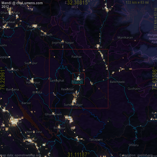
» Earth at Night: Flat Maps 2012, 2016