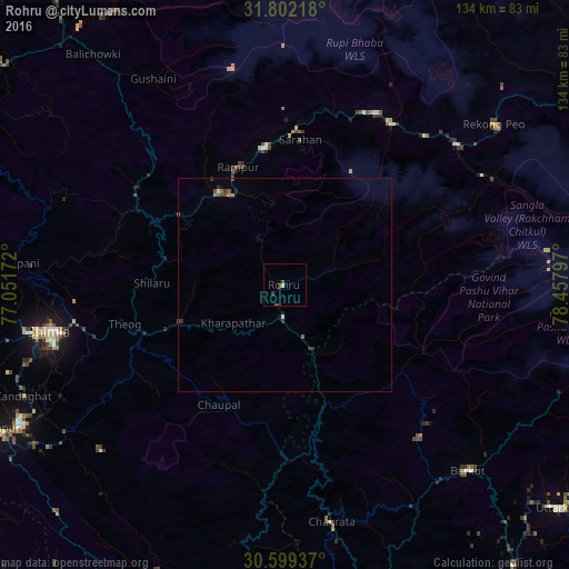
Rohru night lights from space
Night Light of Rohru (Himachal Pradesh) from space (India) Src. Average luminocity for 10x10km area is 2.152% and for 50x50km: 0.4835%.
Analysis of Rohru night lights 2016
Square area 10x10 km:
 0%
0%90-99
0%80-89
0.73%70-79
0%60-69
0%50-59
0.37%40-49
0.73%30-39
1.83%20-29
0.55%10-19
0.18%0-9
95.6%Square area 50x50 km:
0.02%90-99
0.04%80-89
0.03%70-79
0.06%60-69
0.04%50-59
0.13%40-49
0.12%30-39
0.28%20-29
0.09%10-19
0.09%0-9
99.1%Clear (daylight) street map image can be seen on geolist.org.
Map coordinates:
31° 48' 7.8" North, 77° 3' 6.2" East
31° 12' 9.7" North, 77° 45' 17.4" East
30° 35' 57.7" North, 78° 27' 28.7" East
Some cities around Rohru sort by population:
• Shimla
57 km =35.4 mi,  258°
258°
• Solan
69.7 km =43.3 mi,  242°
242°
• Nāhan
83.9 km =52.1 mi,  211°
211°
• Vikāsnagar
81.5 km =50.6 mi,  178°
178°
• Barkot
61.4 km =38.2 mi,  135°
135°
• Sabāthu
77 km =47.8 mi,  250°
250°
• Rāmpur
29.9 km =18.6 mi,  336°
336°
• Kasauli
82.4 km =51.2 mi, 245°
1258078 (p: 8,160)
Sources (retrieved 2019-11-25):
» Earth at Night: Flat Maps 2012, 2016