Begamganj night lights from space
Night Light of Begamganj (Madhya Pradesh) from space (India) Src. Average luminocity for 10x10km area is 8.879% and for 50x50km: 2.0128%.
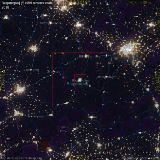
Analysis of Begamganj night lights 2016
Square area 10x10 km:
 1.39%
1.39%90-99
1.79%80-89
0.2%70-79
0.6%60-69
0.79%50-59
2.18%40-49
0.99%30-39
1.59%20-29
0.4%10-19
3.17%0-9
86.9%Square area 50x50 km:
0.15%90-99
0.22%80-89
0.17%70-79
0.17%60-69
0.29%50-59
0.46%40-49
0.4%30-39
0.5%20-29
0.63%10-19
0.72%0-9
96.29%Clear (daylight) street map image can be seen on geolist.org.
Map coordinates:
24° 14' 30.8" North, 77° 38' 15.1" East
23° 35' 57" North, 78° 20' 26.3" East
22° 57' 11.8" North, 79° 2' 37.6" East
Some cities around Begamganj sort by population:
• Saugor
48.5 km =30.1 mi,  56°
56°
• Vidisha
54.6 km =33.9 mi,  261°
261°
• Bāsoda
49.8 km =30.9 mi,  304°
304°
• Khurai
49.4 km =30.7 mi,  358°
358°
• Rāhatgarh
21.9 km =13.6 mi,  14°
14°
• Dhāna
55.6 km =34.5 mi,  72°
72°
• Jaithāri
51.7 km =32.1 mi,  147°
147°
• Bamora
56.8 km =35.3 mi,  333°
333°
1276621 (p: 33,467)
Sources (retrieved 2019-11-25):
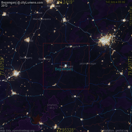
» Earth at Night: Flat Maps 2012, 2016