Katihar night lights from space
Night Light of Katihar (Bihar) from space (India) Src. Average luminocity for 10x10km area is 57.006% and for 50x50km: 10.3845%.
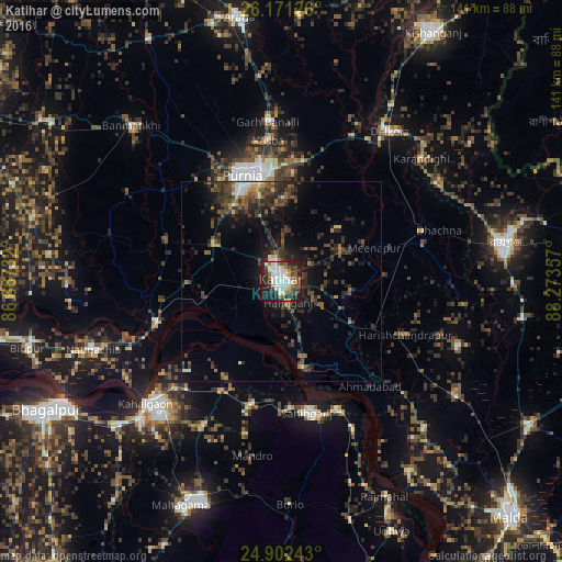
Analysis of Katihar night lights 2016
Square area 10x10 km:
 17.86%
90-99
14.29%80-89
2.78%70-79
2.98%60-69
6.15%50-59
6.55%40-49
7.94%30-39
8.33%20-29
18.85%10-19
13.49%0-9
0.79%Square area 50x50 km:
1%90-99
1.16%80-89
0.56%70-79
0.63%60-69
1.12%50-59
1.96%40-49
2.33%30-39
3.57%20-29
4.76%10-19
6.67%0-9
76.23%Clear (daylight) street map image can be seen on geolist.org.
Map coordinates:
26° 10' 16.5" North, 86° 52' 2.4" East
25° 32' 18.7" North, 87° 34' 13.6" East
24° 54' 8.7" North, 88° 16' 24.9" East
Some cities around Katihar sort by population:
• Purnia
28.4 km =17.6 mi,  340°
340°
• Sāhibganj
33.4 km =20.8 mi,  168°
168°
• Naugachhia
50.2 km =31.2 mi,  250°
250°
• Kasba
35.5 km =22.1 mi,  354°
354°
• Colgong
45.7 km =28.4 mi,  227°
227°
• Manihāri
22.7 km =14.1 mi, 167°
• Dalkola
46.2 km =28.7 mi,  35°
35°
• Raghunāthpur
36.8 km =22.9 mi,  71°
71°
1267480 (p: 192,555)
Sources (retrieved 2019-11-25):
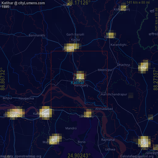
» NASA, Earths city lights 1995
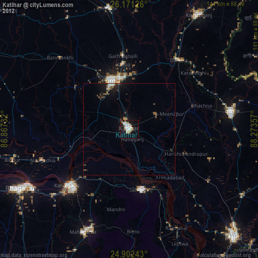
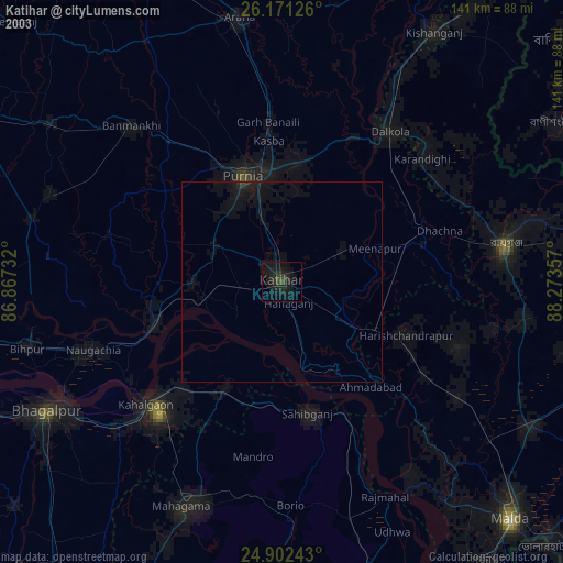
» NASA city lights 2003
» Earth at Night: Flat Maps 2012, 2016