Ahmadnagar night lights from space
Night Light of Ahmadnagar (Maharashtra) from space (India) Src. Average luminocity for 10x10km area is 89.6775% and for 50x50km: 19.7759%.
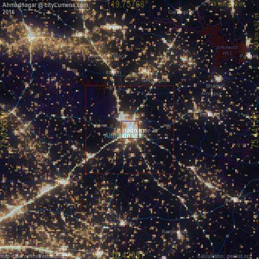
Analysis of Ahmadnagar night lights 2016
Square area 10x10 km:
 19.7%
19.7%90-99
53.46%80-89
5.63%70-79
5.41%60-69
12.12%50-59
3.03%40-49
0.65%30-39
0%20-29
0%10-19
0%0-9
0%Square area 50x50 km:
0.95%90-99
3.97%80-89
1.63%70-79
1.79%60-69
2.75%50-59
3.39%40-49
3.57%30-39
4.86%20-29
6.36%10-19
12.76%0-9
57.98%Clear (daylight) street map image can be seen on geolist.org.
Map coordinates:
19° 45' 27.6" North, 74° 2' 7.1" East
19° 5' 40.5" North, 74° 44' 18.3" East
18° 25' 43.7" North, 75° 26' 29.6" East
Some cities around Ahmadnagar sort by population:
• Sangamner
76.3 km =47.4 mi,  313°
313°
• Daund
71.9 km =44.7 mi,  193°
193°
• Rāhuri
34.2 km =21.3 mi,  344°
344°
• Sirūr
48.4 km =30.1 mi,  232°
232°
• Ārangaon
7.9 km =4.9 mi,  198°
198°
• Shrīgonda
53.5 km =33.2 mi,  184°
184°
• Gangāpur
72.8 km =45.2 mi,  23°
23°
• Pāthardi
46.6 km =29 mi,  79°
79°
1279228 (p: 367,140)
Sources (retrieved 2019-11-25):
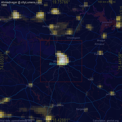
» NASA, Earths city lights 1995
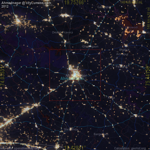
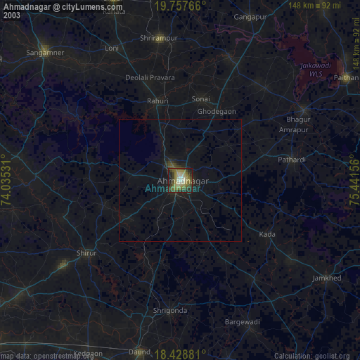
» NASA city lights 2003
» Earth at Night: Flat Maps 2012, 2016