Raebareli night lights from space
Night Light of Raebareli (Uttar Pradesh) from space (India) Src. Average luminocity for 10x10km area is 73.2044% and for 50x50km: 21.852%.
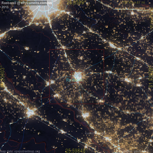

Analysis of Raebareli night lights 2016
Square area 10x10 km:
 22.62%
90-99
22.82%80-89
6.94%70-79
9.52%60-69
1.98%50-59
5.75%40-49
12.3%30-39
9.33%20-29
8.73%10-19
0%0-9
0%Square area 50x50 km:
1.25%90-99
1.59%80-89
1%70-79
1.6%60-69
2.12%50-59
3.8%40-49
6.4%30-39
8.5%20-29
11.7%10-19
24.96%0-9
37.07%Clear (daylight) street map image can be seen on geolist.org.
Map coordinates:
26° 51' 35.6" North, 80° 31' 48.1" East
26° 13' 51.2" North, 81° 13' 59.3" East
25° 35' 54.5" North, 81° 56' 10.6" East
Some cities around Raebareli sort by population:
• Jais
31.7 km =19.7 mi,  83°
83°
• Maurānwān
41.5 km =25.8 mi,  302°
302°
• Salon
31.5 km =19.6 mi,  135°
135°
• Bachhrāwān
29.1 km =18.1 mi,  336°
336°
• Dalmau
27.4 km =17 mi,  227°
227°
• Parshādepur
31.2 km =19.4 mi,  124°
124°
• Nagrām
44.1 km =27.4 mi,  347°
347°
• Mahārājganj
17.2 km =10.7 mi,  13°
13°
1259064 (p: 186,433)
Sources (retrieved 2019-11-25):
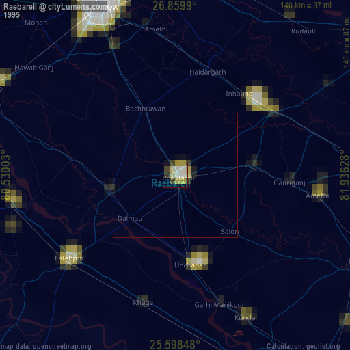
» NASA, Earths city lights 1995
» NASA city lights 2003
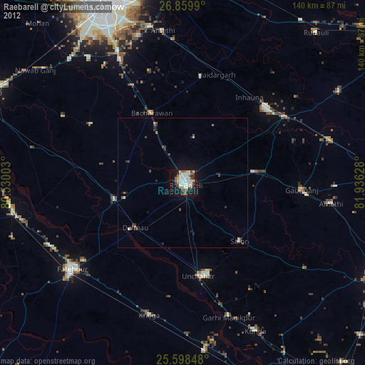
» Earth at Night: Flat Maps 2012, 2016