Jais night lights from space
Night Light of Jais (Uttar Pradesh) from space (India) Src. Average luminocity for 10x10km area is 24.3571% and for 50x50km: 16.5549%.
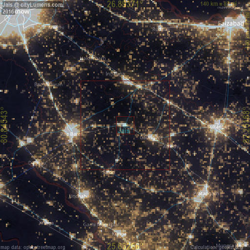
Analysis of Jais night lights 2016
Square area 10x10 km:
 2.78%
2.78%90-99
3.37%80-89
0.99%70-79
1.39%60-69
1.39%50-59
2.98%40-49
7.94%30-39
7.74%20-29
6.35%10-19
35.71%0-9
29.37%Square area 50x50 km:
0.5%90-99
0.92%80-89
0.42%70-79
0.95%60-69
1.57%50-59
2.62%40-49
4.92%30-39
6.57%20-29
9.52%10-19
19.3%0-9
52.71%Clear (daylight) street map image can be seen on geolist.org.
Map coordinates:
26° 53' 37.4" North, 80° 50' 43.5" East
26° 15' 53.6" North, 81° 32' 54.8" East
25° 37' 57.6" North, 82° 15' 6" East
Some cities around Jais sort by population:
• Raebareli
31.7 km =19.7 mi,  263°
263°
• Lālganj
40.2 km =25 mi,  157°
157°
• Salon
27.9 km =17.3 mi,  199°
199°
• Amethī
28.3 km =17.6 mi,  115°
115°
• Parshādepur
22 km =13.7 mi,  194°
194°
• Antu
42.3 km =26.3 mi, 123°
• Musāfir-Khāna
27.7 km =17.2 mi,  62°
62°
• Mahārājganj
30.2 km =18.8 mi,  295°
295°
1269509 (p: 25,726)
Sources (retrieved 2019-11-25):
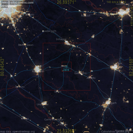
» Earth at Night: Flat Maps 2012, 2016