Pūnch night lights from space
Night Light of Pūnch (Jammu and Kashmir) from space (India) Src. Average luminocity for 10x10km area is 24.6557% and for 50x50km: 6.8394%.
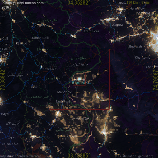
Analysis of Pūnch night lights 2016
Square area 10x10 km:
 0.73%
0.73%90-99
3.66%80-89
0.73%70-79
0%60-69
1.47%50-59
4.4%40-49
11.9%30-39
10.07%20-29
8.06%10-19
27.47%0-9
31.5%Square area 50x50 km:
0.03%90-99
0.32%80-89
0.08%70-79
0.15%60-69
0.52%50-59
1.62%40-49
3.3%30-39
3.1%20-29
3.01%10-19
6.7%0-9
81.2%Clear (daylight) street map image can be seen on geolist.org.
Map coordinates:
34° 21' 10.2" North, 73° 23' 21.9" East
33° 46' 13.2" North, 74° 5' 33.1" East
33° 11' 1.9" North, 74° 47' 44.4" East
Some cities around Pūnch sort by population:
• Kotli, PK
33.1 km =20.6 mi,  212°
212°
• Bāramūla
54 km =33.6 mi,  25°
25°
• Rawala Kot, PK
32.2 km =20 mi,  287°
287°
• Kamra, PK
53.7 km =33.4 mi,  267°
267°
• Rajaori
48.3 km =30 mi,  155°
155°
• Pattan
61 km =37.9 mi,  44°
44°
• Kupwāra
33 km =20.5 mi, 28°
• Uri
34.7 km =21.6 mi,  353°
353°
1167718 (p: 28,197)
Sources (retrieved 2019-11-25):
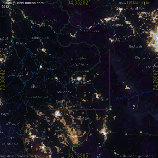
» Earth at Night: Flat Maps 2012, 2016