Rawala Kot night lights from space
Night Light of Rawala Kot (Azad Kashmir) from space (Pakistan) Src. Average luminocity for 10x10km area is 1.9965% and for 50x50km: 0.7222%.
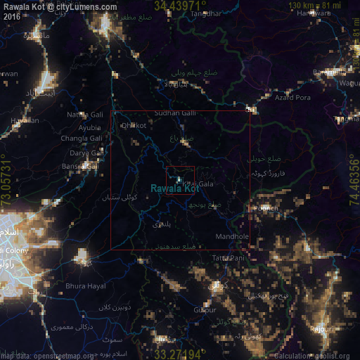
Analysis of Rawala Kot night lights 2016
Square area 10x10 km:
 0%
0%90-99
0.7%80-89
0%70-79
0%60-69
0%50-59
0.7%40-49
0.52%30-39
0.17%20-29
1.4%10-19
0.7%0-9
95.8%Square area 50x50 km:
0%90-99
0.04%80-89
0.01%70-79
0.06%60-69
0.01%50-59
0.07%40-49
0.21%30-39
0.48%20-29
0.56%10-19
0.31%0-9
98.23%Clear (daylight) street map image can be seen on geolist.org.
Map coordinates:
34° 26' 23" North, 73° 3' 26.3" East
33° 51' 28.2" North, 73° 45' 37.5" East
33° 16' 19" North, 74° 27' 48.8" East
Some cities around Rawala Kot sort by population:
• Kotli
40 km =24.9 mi,  160°
160°
• Kamra
26 km =16.2 mi,  241°
241°
• Havelian
59.5 km =37 mi,  291°
291°
• Pūnch, IN
32.2 km =20 mi,  107°
107°
• Murree
34.6 km =21.5 mi,  279°
279°
• Kahuta
45.4 km =28.2 mi,  229°
229°
• Kupwāra, IN
50.3 km =31.3 mi,  67°
67°
• Uri, IN
36.5 km =22.7 mi,  47°
47°
1161983 (p: 50,000)
Sources (retrieved 2019-11-25):
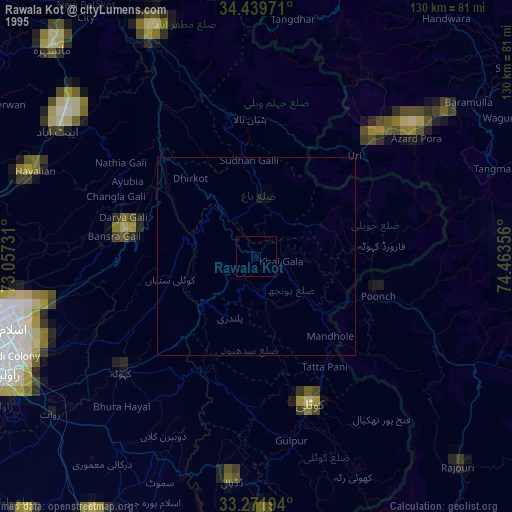
» NASA, Earths city lights 1995
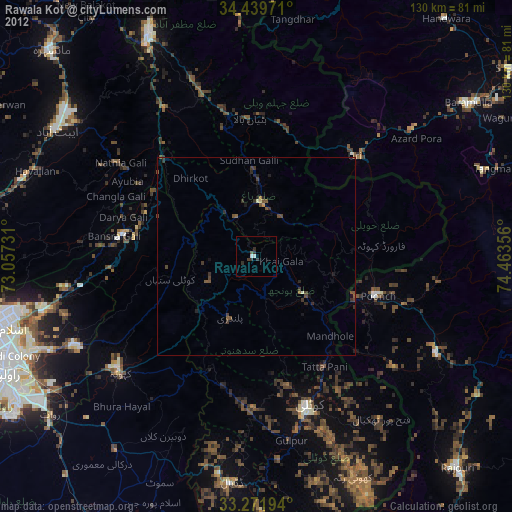
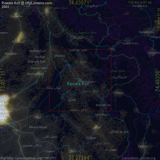
» NASA city lights 2003
» Earth at Night: Flat Maps 2012, 2016