Uri night lights from space
Night Light of Uri (Jammu and Kashmir) from space (India) Src. Average luminocity for 10x10km area is 9.6346% and for 50x50km: 1.2398%.
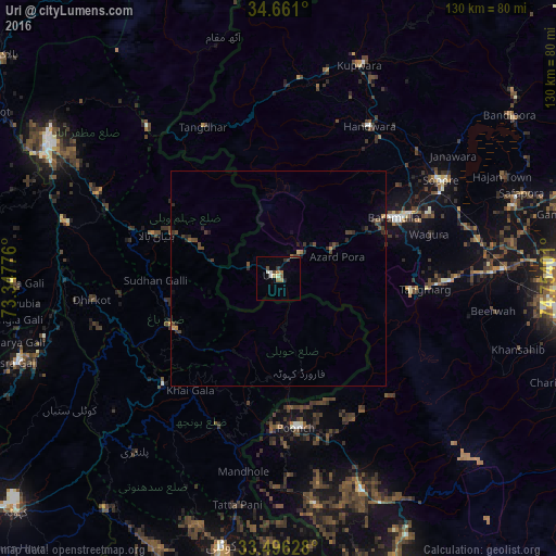
Analysis of Uri night lights 2016
Square area 10x10 km:
 0.52%
0.52%90-99
2.27%80-89
0.52%70-79
0.7%60-69
2.1%50-59
1.22%40-49
2.45%30-39
1.05%20-29
1.4%10-19
1.05%0-9
86.71%Square area 50x50 km:
0.02%90-99
0.09%80-89
0.05%70-79
0.13%60-69
0.15%50-59
0.14%40-49
0.56%30-39
0.38%20-29
0.48%10-19
0.41%0-9
97.59%Clear (daylight) street map image can be seen on geolist.org.
Map coordinates:
34° 39' 39.6" North, 73° 20' 51.9" East
34° 4' 50.3" North, 74° 3' 3.2" East
33° 29' 46.6" North, 74° 45' 14.4" East
Some cities around Uri sort by population:
• Bāramūla
30.4 km =18.9 mi,  62°
62°
• Sopur
45 km =28 mi, 59°
• Rawala Kot, PK
36.5 km =22.7 mi,  227°
227°
• Pūnch
34.7 km =21.6 mi,  173°
173°
• Pattan
47.4 km =29.5 mi,  79°
79°
• Kupwāra
20.4 km =12.7 mi,  105°
105°
• Sumbal
57.3 km =35.6 mi,  73°
73°
• Hājan
57.4 km =35.7 mi, 64°
1253694 (p: 6,755)
Sources (retrieved 2019-11-25):
» Earth at Night: Flat Maps 2012, 2016