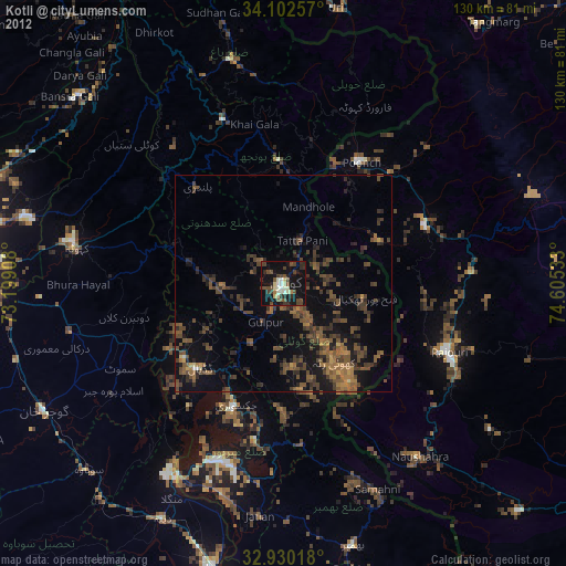
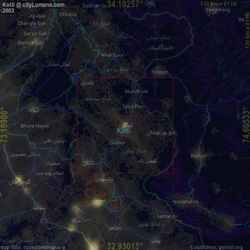
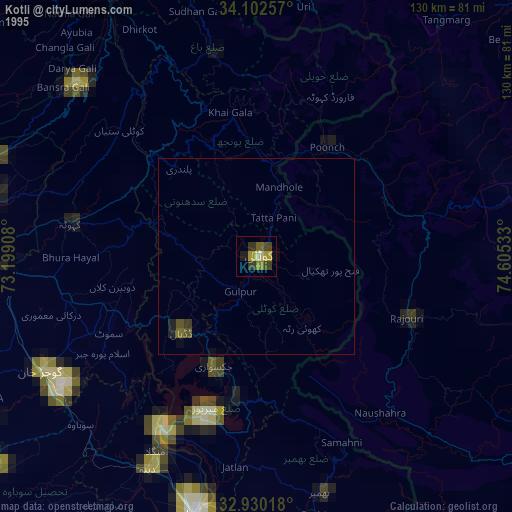
Kotli night lights from space
Night Light of Kotli (Azad Kashmir) from space (Pakistan) Src. Average luminocity for 10x10km area is 26.685% and for 50x50km: 10.4904%.
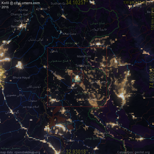
Analysis of Kotli night lights 2016
Square area 10x10 km:
 0.18%
0.18%90-99
2.75%80-89
2.01%70-79
3.85%60-69
2.56%50-59
5.86%40-49
8.42%30-39
5.49%20-29
9.89%10-19
45.05%0-9
13.92%Square area 50x50 km:
0.03%90-99
0.27%80-89
0.16%70-79
0.31%60-69
1.16%50-59
2.3%40-49
5.08%30-39
4.23%20-29
4.5%10-19
8.4%0-9
73.56%Clear (daylight) street map image can be seen on geolist.org.
Map coordinates:
34° 6' 9.3" North, 73° 11' 56.7" East
33° 31' 6.1" North, 73° 54' 7.9" East
32° 55' 48.6" North, 74° 36' 19.2" East
Some cities around Kotli sort by population:
• Bhimbar
62.6 km =38.9 mi,  164°
164°
• New Mirpur
43.5 km =27 mi,  198°
198°
• Rawala Kot
40 km =24.9 mi,  340°
340°
• Kamra
44.1 km =27.4 mi,  305°
305°
• Pūnch, IN
33.1 km =20.6 mi,  32°
32°
• Rajaori, IN
41 km =25.5 mi,  112°
112°
• Kahuta
48.4 km =30.1 mi,  279°
279°
• Nazir Town
45.5 km =28.3 mi,  238°
238°
1173055 (p: 640,000)
Sources (retrieved 2019-11-25):
» NASA, Earths city lights 1995
» NASA city lights 2003
» Earth at Night: Flat Maps 2012, 2016