Rajaori night lights from space
Night Light of Rajaori (Jammu and Kashmir) from space (India) Src. Average luminocity for 10x10km area is 46.9773% and for 50x50km: 12.5494%.
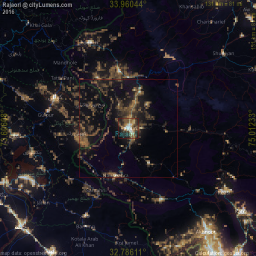
Analysis of Rajaori night lights 2016
Square area 10x10 km:
 4.02%
4.02%90-99
7.87%80-89
5.24%70-79
4.72%60-69
5.94%50-59
16.08%40-49
12.76%30-39
7.52%20-29
17.13%10-19
15.73%0-9
2.97%Square area 50x50 km:
0.18%90-99
0.58%80-89
0.43%70-79
0.51%60-69
1.54%50-59
2.91%40-49
5.48%30-39
4.35%20-29
6.1%10-19
11.43%0-9
66.49%Clear (daylight) street map image can be seen on geolist.org.
Map coordinates:
33° 57' 37.6" North, 73° 36' 21.9" East
33° 22' 30.9" North, 74° 18' 33.1" East
32° 47' 10" North, 75° 0' 44.4" East
Some cities around Rajaori sort by population:
• Kotli, PK
41 km =25.5 mi,  292°
292°
• Bhimbar, PK
49.4 km =30.7 mi,  205°
205°
• New Mirpur, PK
57.7 km =35.9 mi,  243°
243°
• Pūnch
48.3 km =30 mi,  335°
335°
• Shupīyan
61.7 km =38.3 mi,  51°
51°
• Akhnūr
69 km =42.9 mi,  145°
145°
• Riāsi
58.6 km =36.4 mi,  123°
123°
• Tsrār Sharīf
68.7 km =42.7 mi,  37°
37°
1258891 (p: 27,792)
Sources (retrieved 2019-11-25):
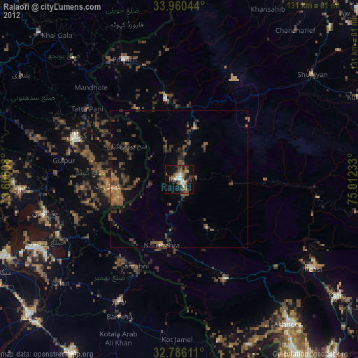
» Earth at Night: Flat Maps 2012, 2016