Port Blair night lights from space
Night Light of Port Blair (Andaman and Nicobar) from space (India) Src. Average luminocity for 10x10km area is 41.6039% and for 50x50km: 2.9305%.
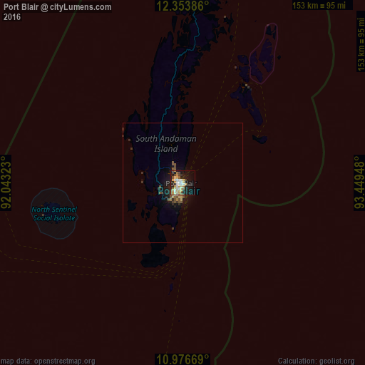
Analysis of Port Blair night lights 2016
Square area 10x10 km:
 6.49%
6.49%90-99
7.36%80-89
11.04%70-79
6.93%60-69
2.38%50-59
3.25%40-49
4.33%30-39
2.81%20-29
9.96%10-19
28.14%0-9
17.32%Square area 50x50 km:
0.25%90-99
0.32%80-89
0.58%70-79
0.36%60-69
0.21%50-59
0.47%40-49
0.57%30-39
0.28%20-29
0.78%10-19
2.86%0-9
93.32%Clear (daylight) street map image can be seen on geolist.org.
Map coordinates:
12° 21' 13.9" North, 92° 2' 35.6" East
11° 39' 58.1" North, 92° 44' 46.9" East
10° 58' 36.1" North, 93° 26' 58.1" East
Some cities around Port Blair sort by population:
• Pathein, MM
607.4 km =377.4 mi,  20°
20°
• Myeik, MM
642.3 km =399.1 mi,  82°
82°
• Bogale, MM
588.7 km =365.8 mi,  29°
29°
• Pyapon, MM
603.2 km =374.8 mi, 31°
• Kyaiklat, MM
620.8 km =385.7 mi, 31°
• Wakema, MM
608.5 km =378.1 mi, 25°
• Mawlamyinegyunn, MM
590 km =366.6 mi, 27°
• Bamboo Flat
5 km =3.1 mi,  319°
319°
1259385 (p: 112,050)
Sources (retrieved 2019-11-25):
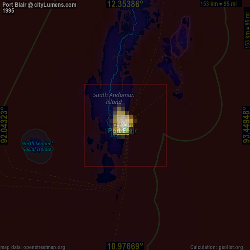
» NASA, Earths city lights 1995
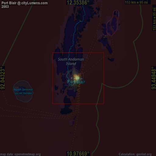
» NASA city lights 2003
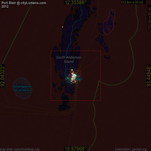
» Earth at Night: Flat Maps 2012, 2016