Bamboo Flat night lights from space
Night Light of Bamboo Flat (Andaman and Nicobar) from space (India) Src. Average luminocity for 10x10km area is 27.4194% and for 50x50km: 2.9687%.
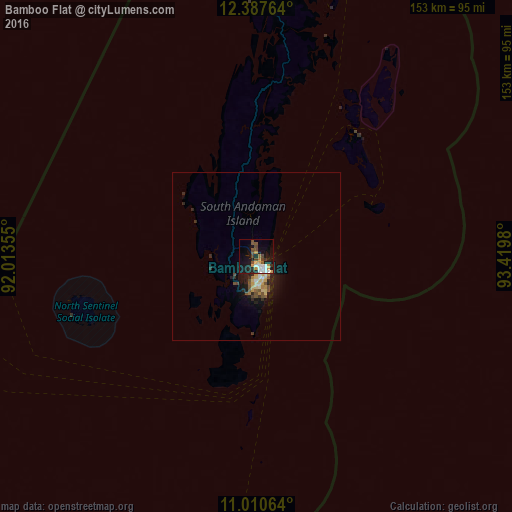
Analysis of Bamboo Flat night lights 2016
Square area 10x10 km:
 5.17%
5.17%90-99
3.93%80-89
3.51%70-79
3.31%60-69
1.45%50-59
3.31%40-49
6.82%30-39
2.27%20-29
5.99%10-19
23.97%0-9
40.29%Square area 50x50 km:
0.25%90-99
0.32%80-89
0.59%70-79
0.36%60-69
0.21%50-59
0.47%40-49
0.57%30-39
0.29%20-29
0.82%10-19
2.89%0-9
93.22%Clear (daylight) street map image can be seen on geolist.org.
Map coordinates:
12° 23' 15.5" North, 92° 0' 48.8" East
11° 42' 0" North, 92° 43' 0" East
11° 0' 38.3" North, 93° 25' 11.3" East
Some cities around Bamboo Flat sort by population:
• Pathein, MM
605.1 km =376 mi,  21°
21°
• Port Blair
5 km =3.1 mi,  139°
139°
• Bogale, MM
587 km =364.7 mi,  29°
29°
• Pyapon, MM
601.7 km =373.9 mi, 32°
• Kyaiklat, MM
619.2 km =384.8 mi, 31°
• Maubin, MM
642.8 km =399.4 mi, 29°
• Wakema, MM
606.5 km =376.9 mi, 25°
• Mawlamyinegyunn, MM
588.2 km =365.5 mi, 27°
1277476 (p: 7,410)
Sources (retrieved 2019-11-25):
» Earth at Night: Flat Maps 2012, 2016