Bogale night lights from space
Night Light of Bogale (Ayeyarwady) from space (Myanmar) Src. Average luminocity for 10x10km area is 2.1343% and for 50x50km: 0.1232%.
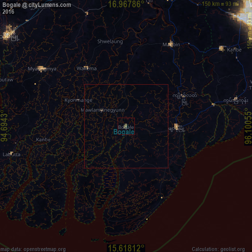
Analysis of Bogale night lights 2016
Square area 10x10 km:
 0%
0%90-99
0%80-89
0%70-79
0%60-69
0%50-59
1.65%40-49
1.03%30-39
1.45%20-29
0%10-19
0%0-9
95.87%Square area 50x50 km:
0%90-99
0%80-89
0%70-79
0%60-69
0%50-59
0.07%40-49
0.07%30-39
0.07%20-29
0.03%10-19
0.05%0-9
99.7%Clear (daylight) street map image can be seen on geolist.org.
Map coordinates:
16° 58' 4.3" North, 94° 41' 39.5" East
16° 17' 38.9" North, 95° 23' 50.7" East
15° 37' 5.2" North, 96° 6' 2" East
Some cities around Bogale sort by population:
• Pyapon
30 km =18.6 mi,  91°
91°
• Kanbe
79.1 km =49.2 mi,  54°
54°
• Kyaiklat
38.6 km =24 mi,  64°
64°
• Maubin
55.8 km =34.7 mi,  29°
29°
• Twante
73.1 km =45.4 mi, 50°
• Wakema
41.3 km =25.7 mi,  326°
326°
• Nyaungdon
87.3 km =54.2 mi,  17°
17°
• Mawlamyinegyunn
16.9 km =10.5 mi,  303°
303°
1328121 (p: 68,938)
Sources (retrieved 2019-11-25):
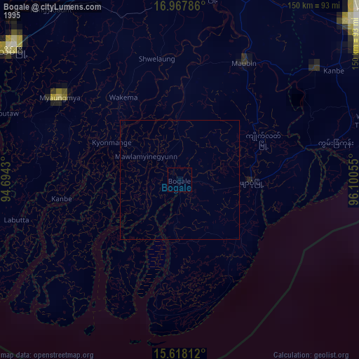
» NASA, Earths city lights 1995
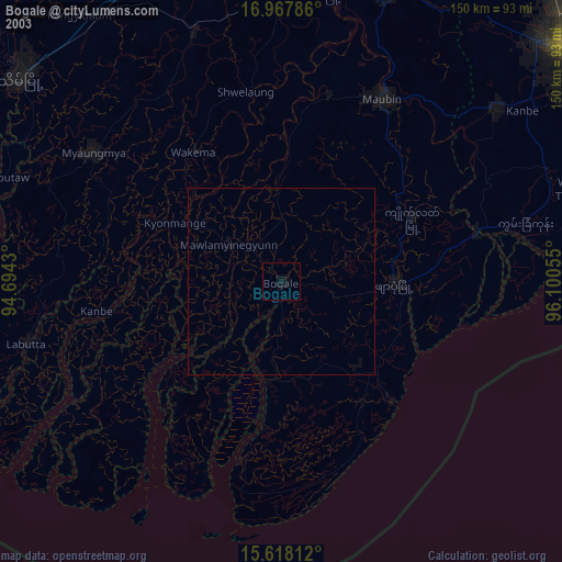
» NASA city lights 2003
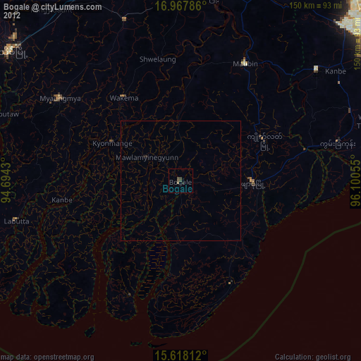
» Earth at Night: Flat Maps 2012, 2016