Pathein night lights from space
Night Light of Pathein (Ayeyarwady) from space (Myanmar) Src. Average luminocity for 10x10km area is 28.4589% and for 50x50km: 1.7949%.
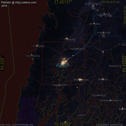


Analysis of Pathein night lights 2016
Square area 10x10 km:
 0.43%
0.43%90-99
1.3%80-89
2.38%70-79
13.42%60-69
3.46%50-59
3.25%40-49
7.14%30-39
3.68%20-29
7.36%10-19
18.4%0-9
39.18%Square area 50x50 km:
0.02%90-99
0.05%80-89
0.09%70-79
0.63%60-69
0.36%50-59
0.16%40-49
0.67%30-39
0.18%20-29
0.36%10-19
0.83%0-9
96.66%Clear (daylight) street map image can be seen on geolist.org.
Map coordinates:
17° 27' 4.2" North, 94° 1' 44.4" East
16° 46' 45.1" North, 94° 43' 55.6" East
16° 6' 17.4" North, 95° 26' 6.9" East
Some cities around Pathein sort by population:
• Hinthada
123.7 km =76.9 mi,  38°
38°
• Bogale
89.1 km =55.4 mi,  127°
127°
• Pyapon
114.9 km =71.4 mi,  118°
118°
• Kyaiklat
112 km =69.6 mi,  109°
109°
• Maubin
98.3 km =61.1 mi,  93°
93°
• Wakema
51.8 km =32.2 mi, 112°
• Nyaungdon
100.9 km =62.7 mi,  73°
73°
• Mawlamyinegyunn
72.3 km =44.9 mi, 128°
1328421 (p: 237,089)
Sources (retrieved 2019-11-25):
» NASA, Earths city lights 1995
» NASA city lights 2003
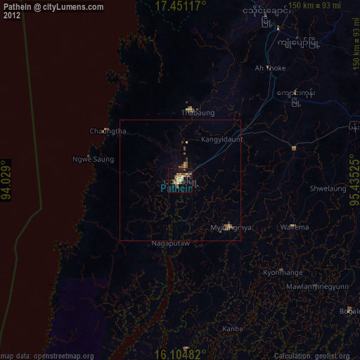
» Earth at Night: Flat Maps 2012, 2016