Kyaiklat night lights from space
Night Light of Kyaiklat (Ayeyarwady) from space (Myanmar) Src. Average luminocity for 10x10km area is 1.0227% and for 50x50km: 0.2953%.

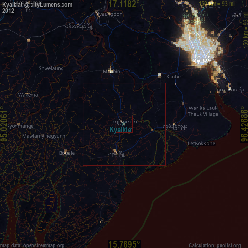
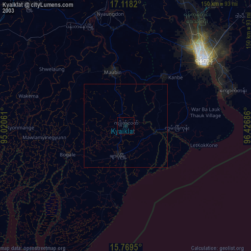
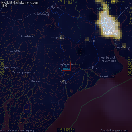
Analysis of Kyaiklat night lights 2016
Square area 10x10 km:
 0%
0%90-99
0%80-89
0%70-79
0%60-69
0%50-59
0%40-49
1.45%30-39
1.03%20-29
0%10-19
0%0-9
97.52%Square area 50x50 km:
0%90-99
0%80-89
0.02%70-79
0.05%60-69
0.14%50-59
0.07%40-49
0.12%30-39
0.07%20-29
0.02%10-19
0.02%0-9
99.5%Clear (daylight) street map image can be seen on geolist.org.
Map coordinates:
17° 7' 5.5" North, 95° 1' 14.2" East
16° 26' 42.1" North, 95° 43' 25.4" East
15° 46' 10.2" North, 96° 25' 36.7" East
Some cities around Kyaiklat sort by population:
• Yangon
61 km =37.9 mi,  48°
48°
• Bogale
38.6 km =24 mi,  244°
244°
• Pyapon
18.4 km =11.4 mi,  195°
195°
• Kanbe
41.6 km =25.8 mi, 45°
• Maubin
32.7 km =20.3 mi,  346°
346°
• Twante
36.7 km =22.8 mi,  36°
36°
• Wakema
60.3 km =37.5 mi,  286°
286°
• Mawlamyinegyunn
49.5 km =30.8 mi,  261°
261°
1317397 (p: 52,425)
Sources (retrieved 2019-11-25):
» NASA, Earths city lights 1995
» NASA city lights 2003
» Earth at Night: Flat Maps 2012, 2016