Jodhpur night lights from space
Night Light of Jodhpur (Rajasthan) from space (India) Src. Average luminocity for 10x10km area is 98.7401% and for 50x50km: 22.091%.
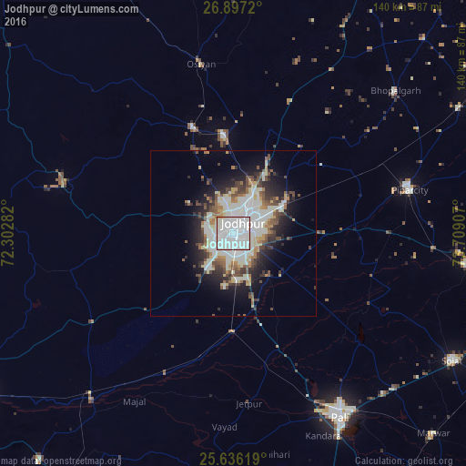
Analysis of Jodhpur night lights 2016
Square area 10x10 km:
 70.63%
90-99
27.58%80-89
0.79%70-79
0.79%60-69
0.2%50-59
0%40-49
0%30-39
0%20-29
0%10-19
0%0-9
0%Square area 50x50 km:
4.75%90-99
7.17%80-89
2.03%70-79
1.49%60-69
1.84%50-59
2.06%40-49
3.28%30-39
2.58%20-29
4.42%10-19
7.92%0-9
62.45%Clear (daylight) street map image can be seen on geolist.org.
Map coordinates:
26° 53' 49.9" North, 72° 18' 10.2" East
26° 16' 6.3" North, 73° 0' 21.4" East
25° 38' 10.3" North, 73° 42' 32.7" East
Some cities around Jodhpur sort by population:
• Pāli
63.6 km =39.5 mi,  150°
150°
• Bālotra
90.6 km =56.3 mi,  237°
237°
• Sojat
76.2 km =47.3 mi,  120°
120°
• Bilāra
70.5 km =43.8 mi,  97°
97°
• Pīpār
55.1 km =34.2 mi,  76°
76°
• Siwāna
90 km =55.9 mi,  220°
220°
• Jaitāran
93.1 km =57.8 mi,  94°
94°
• Samdari
66.2 km =41.1 mi, 220°
1268865 (p: 921,476)
Sources (retrieved 2019-11-25):
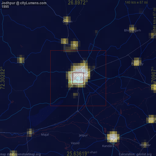
» NASA, Earths city lights 1995
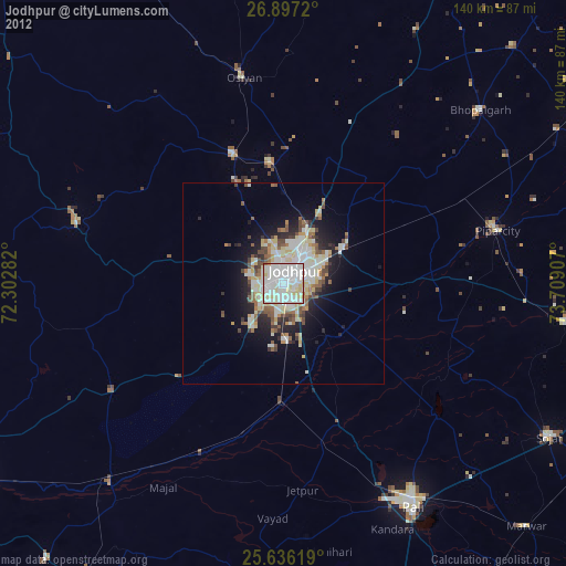
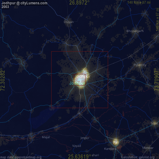
» NASA city lights 2003
» Earth at Night: Flat Maps 2012, 2016