Phalodi night lights from space
Night Light of Phalodi (Rajasthan) from space (India) Src. Average luminocity for 10x10km area is 14.1629% and for 50x50km: 0.8915%.
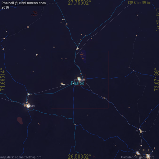
Analysis of Phalodi night lights 2016
Square area 10x10 km:
 1.33%
1.33%90-99
3.98%80-89
1.52%70-79
1.33%60-69
0.95%50-59
1.33%40-49
2.84%30-39
1.33%20-29
0.19%10-19
2.27%0-9
82.95%Square area 50x50 km:
0.08%90-99
0.25%80-89
0.1%70-79
0.07%60-69
0.07%50-59
0.1%40-49
0.22%30-39
0.05%20-29
0.07%10-19
0.12%0-9
98.88%Clear (daylight) street map image can be seen on geolist.org.
Map coordinates:
27° 45' 18.1" North, 71° 39' 54.5" East
27° 7' 51.7" North, 72° 22' 5.7" East
26° 30' 12.7" North, 73° 4' 17" East
Some cities around Phalodi sort by population:
• Jodhpur
114.9 km =71.4 mi,  146°
146°
• Bīkaner
135.7 km =84.3 mi,  43°
43°
• Nāgaur
135.3 km =84.1 mi,  86°
86°
• Nokha
119 km =73.9 mi,  66°
66°
• Pīpār
143.2 km =89 mi,  125°
125°
• Basni
126.4 km =78.5 mi, 87°
• Pokaran
50.5 km =31.4 mi,  242°
242°
• Deshnoke
121.5 km =75.5 mi,  52°
52°
1259813 (p: 46,788)
Sources (retrieved 2019-11-25):
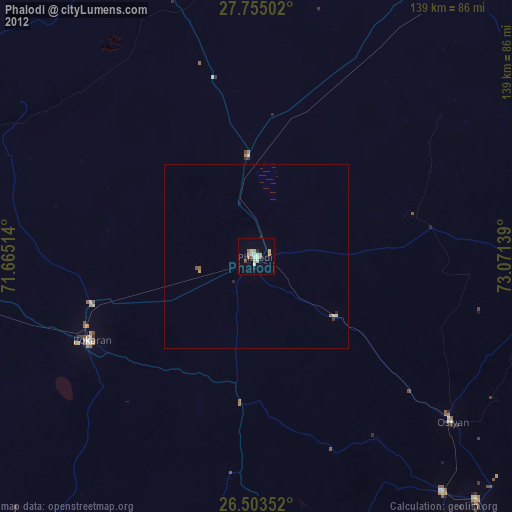
» Earth at Night: Flat Maps 2012, 2016