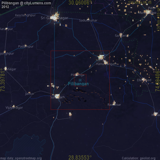
Pilibangan night lights from space
Night Light of Pilibangan (Rajasthan) from space (India) Src. Average luminocity for 10x10km area is 5.7235% and for 50x50km: 3.93%.
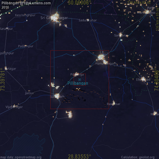
Analysis of Pilibangan night lights 2016
Square area 10x10 km:
 0.95%
0.95%90-99
2.08%80-89
0.38%70-79
0%60-69
0.38%50-59
0%40-49
2.27%30-39
0.38%20-29
1.52%10-19
0%0-9
92.05%Square area 50x50 km:
0.21%90-99
1.11%80-89
0.63%70-79
0.17%60-69
0.49%50-59
0.37%40-49
0.45%30-39
0.34%20-29
0.4%10-19
3.81%0-9
92.03%Clear (daylight) street map image can be seen on geolist.org.
Map coordinates:
30° 3' 36.2" North, 73° 23' 52.1" East
29° 26' 58.7" North, 74° 6' 3.3" East
28° 50' 7.9" North, 74° 48' 14.6" East
Some cities around Pilibangan sort by population:
• Gangānagar
56.7 km =35.2 mi,  337°
337°
• Hanumāngarh
26.5 km =16.5 mi,  56°
56°
• Sūratgarh
24.1 km =15 mi,  233°
233°
• Sangariā
52.5 km =32.6 mi,  42°
42°
• Ellenabad
54.2 km =33.7 mi,  89°
89°
• Rāwatsār
35.6 km =22.1 mi,  124°
124°
• Rāisinghnagar
63.8 km =39.6 mi,  278°
278°
• Padampur
54.3 km =33.7 mi,  302°
302°
1259688 (p: 36,755)
Sources (retrieved 2019-11-25):
» Earth at Night: Flat Maps 2012, 2016