Rāisinghnagar night lights from space
Night Light of Rāisinghnagar (Rajasthan) from space (India) Src. Average luminocity for 10x10km area is 3.339% and for 50x50km: 1.1005%.
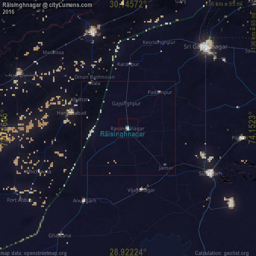
Analysis of Rāisinghnagar night lights 2016
Square area 10x10 km:
 0%
0%90-99
1.14%80-89
0.38%70-79
0%60-69
0.76%50-59
0%40-49
1.14%30-39
0.95%20-29
0.95%10-19
0%0-9
94.7%Square area 50x50 km:
0.2%90-99
0.36%80-89
0.07%70-79
0.11%60-69
0.1%50-59
0.04%40-49
0.09%30-39
0.09%20-29
0.09%10-19
0.03%0-9
98.82%Clear (daylight) street map image can be seen on geolist.org.
Map coordinates:
30° 8' 44.6" North, 72° 44' 45.8" East
29° 32' 9" North, 73° 26' 57" East
28° 55' 20.1" North, 74° 9' 8.3" East
Some cities around Rāisinghnagar sort by population:
• Harunabad, PK
31.3 km =19.4 mi,  285°
285°
• Sūratgarh
49.7 km =30.9 mi,  118°
118°
• Anūpgarh
44.9 km =27.9 mi,  211°
211°
• Dunga Bunga, PK
31 km =19.3 mi,  320°
320°
• Faqirwali, PK
40.8 km =25.4 mi,  259°
259°
• Karanpur
33.9 km =21.1 mi,  0°
0°
• Padampur
25.7 km =16 mi,  41°
41°
• Dinan Bashnoian Wala, PK
31.1 km =19.3 mi,  325°
325°
1258950 (p: 29,626)
Sources (retrieved 2019-11-25):
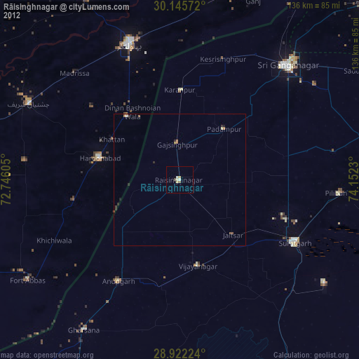
» Earth at Night: Flat Maps 2012, 2016