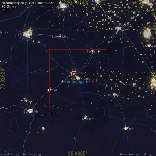
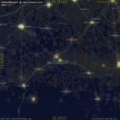
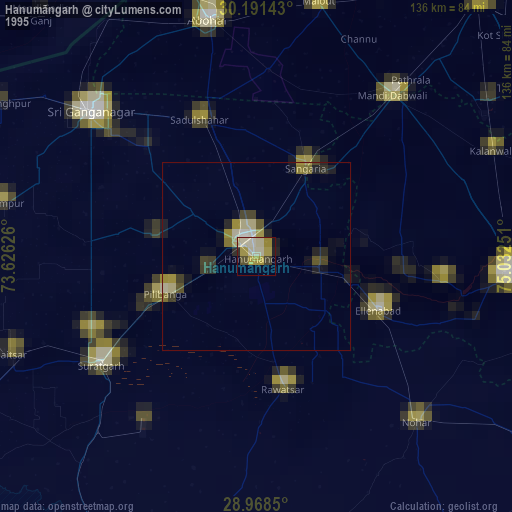
Hanumāngarh night lights from space
Night Light of Hanumāngarh (Rajasthan) from space (India) Src. Average luminocity for 10x10km area is 26.9659% and for 50x50km: 2.9093%.
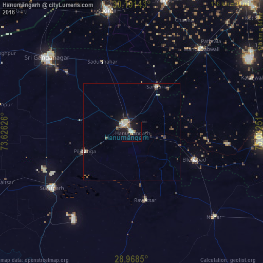
Analysis of Hanumāngarh night lights 2016
Square area 10x10 km:
 1.89%
1.89%90-99
7.95%80-89
4.73%70-79
1.33%60-69
3.79%50-59
2.84%40-49
2.84%30-39
2.46%20-29
3.03%10-19
25.19%0-9
43.94%Square area 50x50 km:
0.13%90-99
0.61%80-89
0.4%70-79
0.16%60-69
0.47%50-59
0.37%40-49
0.43%30-39
0.43%20-29
0.5%10-19
2.55%0-9
93.95%Clear (daylight) street map image can be seen on geolist.org.
Map coordinates:
30° 11' 29.1" North, 73° 37' 34.5" East
29° 34' 54.6" North, 74° 19' 45.8" East
28° 58' 6.6" North, 75° 1' 57" East
Some cities around Hanumāngarh sort by population:
• Gangānagar
57.8 km =35.9 mi,  310°
310°
• Sūratgarh
50.7 km =31.5 mi,  235°
235°
• Dabwāli
56.8 km =35.3 mi,  44°
44°
• Sangariā
27.5 km =17.1 mi,  28°
28°
• Ellenabad
35.2 km =21.9 mi,  114°
114°
• Pilibangan
26.5 km =16.5 mi, 236°
• Rāwatsār
35.7 km =22.2 mi,  168°
168°
• Rānia
49.5 km =30.8 mi,  97°
97°
1270407 (p: 155,687)
Sources (retrieved 2019-11-25):
» NASA, Earths city lights 1995
» NASA city lights 2003
» Earth at Night: Flat Maps 2012, 2016