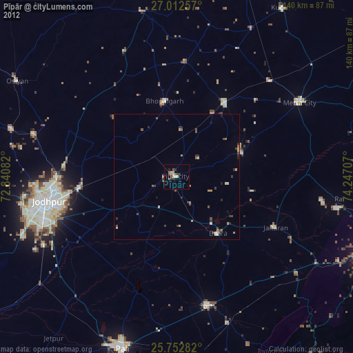
Pīpār night lights from space
Night Light of Pīpār (Rajasthan) from space (India) Src. Average luminocity for 10x10km area is 17.928% and for 50x50km: 2.8021%.
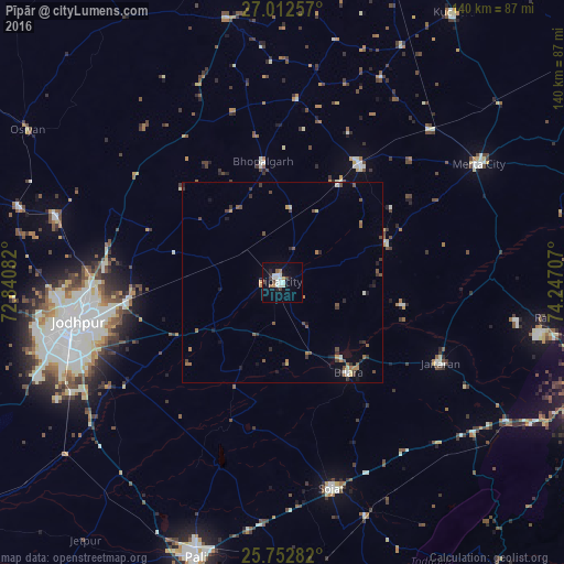
Analysis of Pīpār night lights 2016
Square area 10x10 km:
100  1.14%
1.14%
90-99 7.77%
80-89 0.19%
70-79 1.52%
60-69 0.76%
50-59 1.52%
40-49 2.27%
30-39 1.89%
20-29 1.89%
10-19 7.95%
0-9 73.11%
1.14%90-99
7.77%80-89
0.19%70-79
1.52%60-69
0.76%50-59
1.52%40-49
2.27%30-39
1.89%20-29
1.89%10-19
7.95%0-9
73.11%Square area 50x50 km:
100 0.09%
90-99 0.48%
80-89 0.16%
70-79 0.3%
60-69 0.39%
50-59 0.58%
40-49 0.62%
30-39 0.63%
20-29 0.44%
10-19 0.86%
0-9 95.45%
0.09%90-99
0.48%80-89
0.16%70-79
0.3%60-69
0.39%50-59
0.58%40-49
0.62%30-39
0.63%20-29
0.44%10-19
0.86%0-9
95.45%Clear (daylight) street map image can be seen on geolist.org.
Map coordinates:
27° 0' 45.3" North, 72° 50' 27" East
26° 23' 3.9" North, 73° 32' 38.2" East
25° 45' 10.2" North, 74° 14' 49.5" East
Some cities around Pīpār sort by population:
• Jodhpur
55.1 km =34.2 mi,  256°
256°
• Pāli
71.5 km =44.4 mi,  197°
197°
• Merta
56.9 km =35.4 mi,  58°
58°
• Sojat
52.5 km =32.6 mi,  166°
166°
• Bilāra
27.8 km =17.3 mi,  144°
144°
• Jaitāran
44 km =27.3 mi,  117°
117°
• Nīmāj
52.5 km =32.6 mi, 119°
• Raipur
61.1 km =38 mi,  128°
128°
1259608 (p: 34,630)
Sources (retrieved 2019-11-25):
» Earth at Night: Flat Maps 2012, 2016