Bīkaner night lights from space
Night Light of Bīkaner (Rajasthan) from space (India) Src. Average luminocity for 10x10km area is 89.3977% and for 50x50km: 8.5521%.
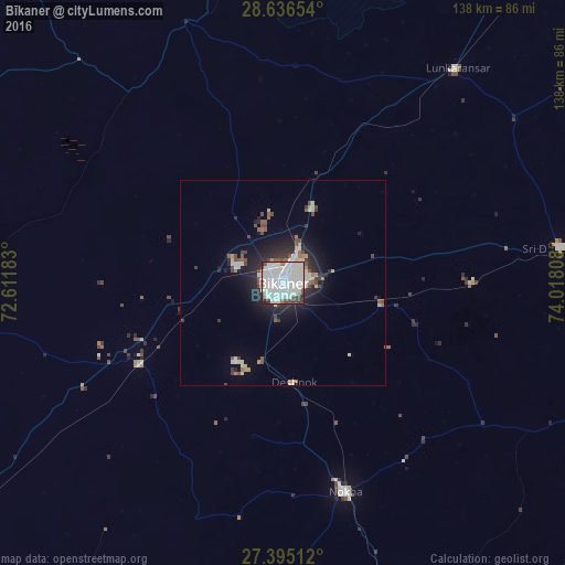
Analysis of Bīkaner night lights 2016
Square area 10x10 km:
 39.2%
39.2%90-99
40.53%80-89
4.36%70-79
1.14%60-69
0.95%50-59
2.65%40-49
5.49%30-39
3.41%20-29
2.27%10-19
0%0-9
0%Square area 50x50 km:
1.73%90-99
2.33%80-89
0.8%70-79
0.37%60-69
0.52%50-59
0.8%40-49
1.28%30-39
0.86%20-29
2.66%10-19
4.59%0-9
84.06%Clear (daylight) street map image can be seen on geolist.org.
Map coordinates:
28° 38' 11.5" North, 72° 36' 42.6" East
28° 1' 3.4" North, 73° 18' 53.8" East
27° 23' 42.4" North, 74° 1' 5.1" East
Some cities around Bīkaner sort by population:
• Nāgaur
99.6 km =61.9 mi,  155°
155°
• Nokha
53 km =32.9 mi, 163°
• Sri Dūngargarh
68.6 km =42.6 mi,  82°
82°
• Bhādāsar
101.1 km =62.8 mi,  70°
70°
• Basni
99.5 km =61.8 mi, 160°
• Napāsar
24.8 km =15.4 mi,  104°
104°
• Chhāpar
112.7 km =70 mi, 101°
• Deshnoke
24.5 km =15.2 mi,  173°
173°
1275665 (p: 576,015)
Sources (retrieved 2019-11-25):
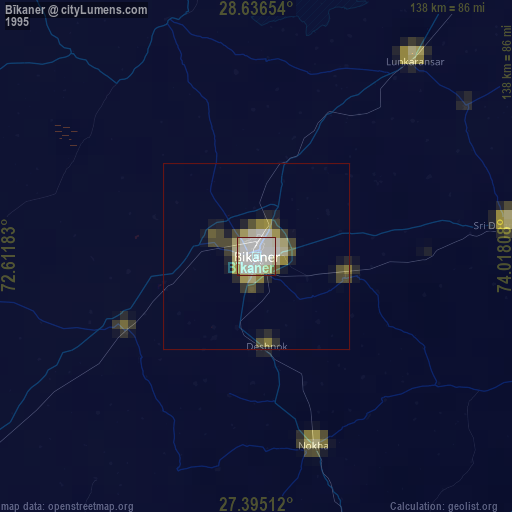
» NASA, Earths city lights 1995
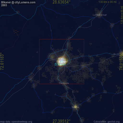
» NASA city lights 2003
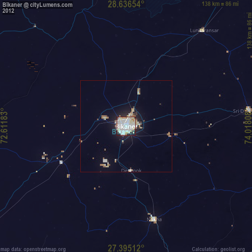
» Earth at Night: Flat Maps 2012, 2016