Nāgaur night lights from space
Night Light of Nāgaur (Rajasthan) from space (India) Src. Average luminocity for 10x10km area is 40.4621% and for 50x50km: 3.2138%.
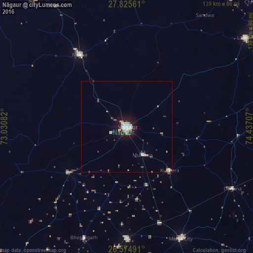
Analysis of Nāgaur night lights 2016
Square area 10x10 km:
 6.25%
6.25%90-99
14.02%80-89
3.22%70-79
3.98%60-69
2.27%50-59
2.46%40-49
6.63%30-39
4.17%20-29
4.55%10-19
44.7%0-9
7.77%Square area 50x50 km:
0.29%90-99
0.88%80-89
0.24%70-79
0.39%60-69
0.2%50-59
0.3%40-49
0.46%30-39
0.58%20-29
0.43%10-19
2.58%0-9
93.66%Clear (daylight) street map image can be seen on geolist.org.
Map coordinates:
27° 49' 32.2" North, 73° 1' 51" East
27° 12' 7.2" North, 73° 44' 2.2" East
26° 34' 29.7" North, 74° 26' 13.5" East
Some cities around Nāgaur sort by population:
• Lādnūn
82.7 km =51.4 mi,  52°
52°
• Nokha
47.6 km =29.6 mi,  327°
327°
• Dīdwāna
86 km =53.4 mi,  75°
75°
• Merta
68.4 km =42.5 mi,  154°
154°
• Basni
9.4 km =5.8 mi,  249°
249°
• Kuchera
33.5 km =20.8 mi,  135°
135°
• Mūndwa
17.8 km =11.1 mi, 150°
• Deshnoke
76.7 km =47.7 mi, 329°
1262216 (p: 96,847)
Sources (retrieved 2019-11-25):
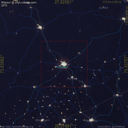
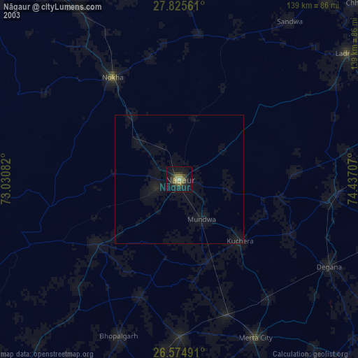
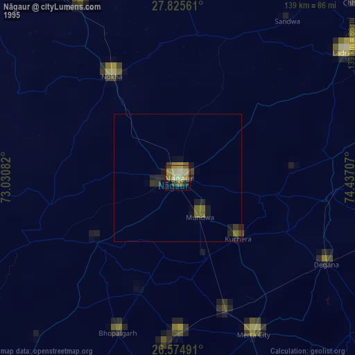
» NASA, Earths city lights 1995
» NASA city lights 2003
» Earth at Night: Flat Maps 2012, 2016