Partūr night lights from space
Night Light of Partūr (Maharashtra) from space (India) Src. Average luminocity for 10x10km area is 16.7004% and for 50x50km: 4.3024%.
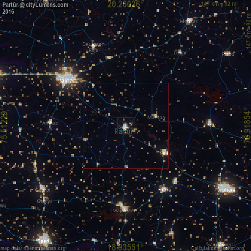
Analysis of Partūr night lights 2016
Square area 10x10 km:
 0.62%
0.62%90-99
3.51%80-89
2.27%70-79
1.45%60-69
1.24%50-59
4.96%40-49
0.21%30-39
3.1%20-29
4.13%10-19
2.89%0-9
75.62%Square area 50x50 km:
0.09%90-99
0.49%80-89
0.34%70-79
0.48%60-69
0.63%50-59
1.22%40-49
0.83%30-39
1.02%20-29
0.99%10-19
0.88%0-9
93.03%Clear (daylight) street map image can be seen on geolist.org.
Map coordinates:
20° 15' 36.9" North, 75° 30' 44.2" East
19° 35' 57.3" North, 76° 12' 55.5" East
18° 56' 7.8" North, 76° 55' 6.7" East
Some cities around Partūr sort by population:
• Jālna
43.7 km =27.2 mi,  307°
307°
• Mājalgaon
48.9 km =30.4 mi,  180°
180°
• Selu
28.5 km =17.7 mi,  124°
124°
• Jintūr
49.5 km =30.8 mi,  88°
88°
• Pāthri
44.3 km =27.5 mi,  148°
148°
• Mānwat
44.4 km =27.6 mi,  138°
138°
• Ambad
44.7 km =27.8 mi,  271°
271°
• Ashti
24.8 km =15.4 mi, 177°
1260228 (p: 30,991)
Sources (retrieved 2019-11-25):
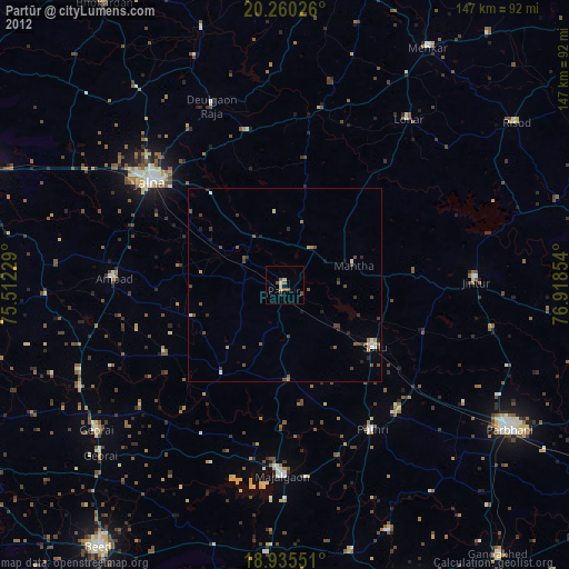
» Earth at Night: Flat Maps 2012, 2016