Pāthardih night lights from space
Night Light of Pāthardih (Jharkhand) from space (India) Src. Average luminocity for 10x10km area is 83.7123% and for 50x50km: 47.126%.
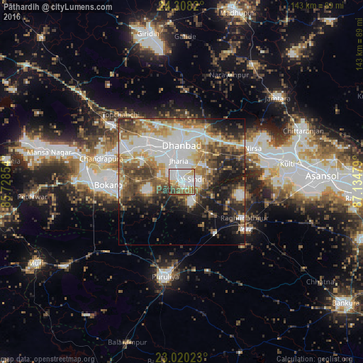
Analysis of Pāthardih night lights 2016
Square area 10x10 km:
 31.35%
90-99
27.18%80-89
7.54%70-79
5.56%60-69
12.3%50-59
7.94%40-49
4.56%30-39
2.78%20-29
0.79%10-19
0%0-9
0%Square area 50x50 km:
11.71%90-99
10.45%80-89
4.82%70-79
5.31%60-69
6.3%50-59
6.82%40-49
7.52%30-39
6.49%20-29
7.3%10-19
11.02%0-9
22.24%Clear (daylight) street map image can be seen on geolist.org.
Map coordinates:
24° 18' 29.5" North, 85° 43' 42.7" East
23° 39' 56.9" North, 86° 25' 54" East
23° 1' 12.8" North, 87° 8' 5.2" East
Some cities around Pāthardih sort by population:
• Dhanbād
15.2 km =9.4 mi,  4°
4°
• Jharia
8.5 km =5.3 mi,  348°
348°
• Jāmadoba
6.5 km =4 mi,  330°
330°
• Sijua
16 km =9.9 mi,  319°
319°
• Malkera
19.5 km =12.1 mi,  311°
311°
• Bagra
13.9 km =8.6 mi,  302°
302°
• Bhojudih
3.1 km =1.9 mi,  161°
161°
• Kenduadīh
13.5 km =8.4 mi,  335°
335°
1260134 (p: 45,276)
Sources (retrieved 2019-11-25):
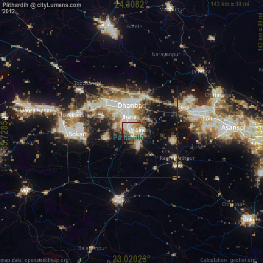
» Earth at Night: Flat Maps 2012, 2016