Jāmadoba night lights from space
Night Light of Jāmadoba (Jharkhand) from space (India) Src. Average luminocity for 10x10km area is 96.0119% and for 50x50km: 49.9339%.
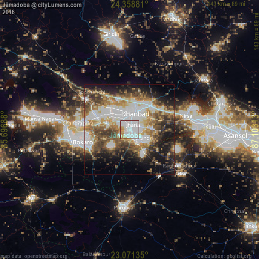
Analysis of Jāmadoba night lights 2016
Square area 10x10 km:
100  61.51%
90-99 24.6%
80-89 3.17%
70-79 7.94%
60-69 2.78%
50-59 0%
40-49 0%
30-39 0%
20-29 0%
10-19 0%
0-9 0%
61.51%90-99
24.6%80-89
3.17%70-79
7.94%60-69
2.78%50-59
0%40-49
0%30-39
0%20-29
0%10-19
0%0-9
0%Square area 50x50 km:
100 12.48%
90-99 10.64%
80-89 5.12%
70-79 5.58%
60-69 6.92%
50-59 7.02%
40-49 8.08%
30-39 7.25%
20-29 7.74%
10-19 13.01%
0-9 16.14%
12.48%90-99
10.64%80-89
5.12%70-79
5.58%60-69
6.92%50-59
7.02%40-49
8.08%30-39
7.25%20-29
7.74%10-19
13.01%0-9
16.14%Clear (daylight) street map image can be seen on geolist.org.
Map coordinates:
24° 21' 31.7" North, 85° 41' 48.8" East
23° 43' 0" North, 86° 24' 0" East
23° 4' 16.9" North, 87° 6' 11.3" East
Some cities around Jāmadoba sort by population:
• Dhanbād
10.5 km =6.5 mi,  24°
24°
• Jharia
3.1 km =1.9 mi,  28°
28°
• Pāthardih
6.5 km =4 mi,  150°
150°
• Sijua
9.7 km =6 mi,  312°
312°
• Malkera
13.6 km =8.5 mi,  302°
302°
• Bagra
8.7 km =5.4 mi,  282°
282°
• Bhojudih
9.5 km =5.9 mi, 153°
• Kenduadīh
7 km =4.3 mi,  339°
339°
1269379 (p: 34,774)
Sources (retrieved 2019-11-25):
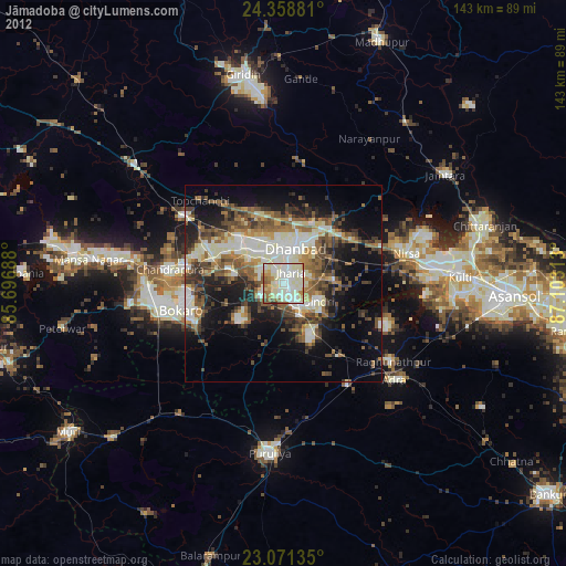
» Earth at Night: Flat Maps 2012, 2016