Pathanāmthitta night lights from space
Night Light of Pathanāmthitta (Kerala) from space (India) Src. Average luminocity for 10x10km area is 8.0801% and for 50x50km: 1.3354%.
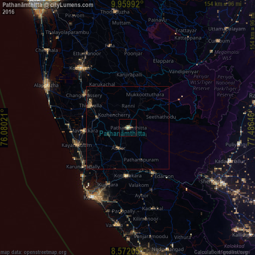
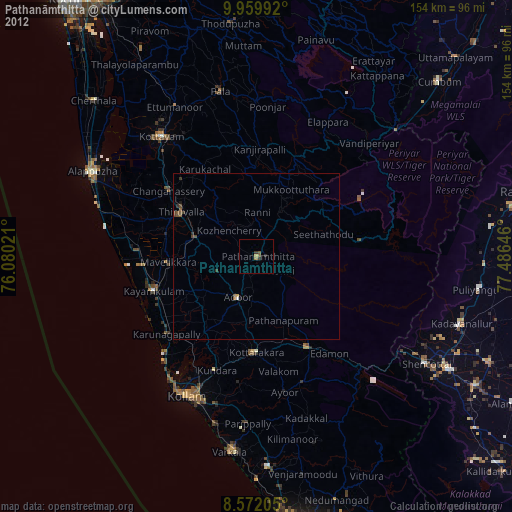
Analysis of Pathanāmthitta night lights 2016
Square area 10x10 km:
 0%
0%90-99
0.43%80-89
2.16%70-79
0%60-69
2.81%50-59
1.73%40-49
1.52%30-39
0.87%20-29
1.73%10-19
3.03%0-9
85.71%Square area 50x50 km:
0%90-99
0.03%80-89
0.11%70-79
0.08%60-69
0.37%50-59
0.25%40-49
0.25%30-39
0.47%20-29
0.54%10-19
0.58%0-9
97.33%Clear (daylight) street map image can be seen on geolist.org.
Map coordinates:
9° 57' 35.7" North, 76° 4' 48.8" East
9° 16' 0" North, 76° 46' 60" East
8° 34' 19.4" North, 77° 29' 11.3" East
Some cities around Pathanāmthitta sort by population:
• Kāyankulam
32.4 km =20.1 mi,  253°
253°
• Tiruvalla
26.2 km =16.3 mi,  299°
299°
• Changanācheri
33.4 km =20.8 mi,  305°
305°
• Punalūr
31.4 km =19.5 mi,  150°
150°
• Adūr
13.5 km =8.4 mi,  204°
204°
• Māvelikara
24.9 km =15.5 mi,  268°
268°
• Chengannūr
19.2 km =11.9 mi,  286°
286°
• Kattanam
26.2 km =16.3 mi, 247°
1260138 (p: 38,285)
Sources (retrieved 2019-11-25):
» Earth at Night: Flat Maps 2012, 2016