Chengannūr night lights from space
Night Light of Chengannūr (Kerala) from space (India) Src. Average luminocity for 10x10km area is 2.2619% and for 50x50km: 2.9299%.
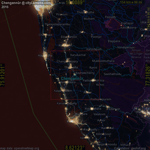
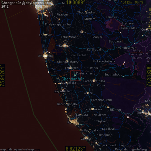
Analysis of Chengannūr night lights 2016
Square area 10x10 km:
 0%
0%90-99
0%80-89
0%70-79
0%60-69
0.87%50-59
0.87%40-49
0%30-39
1.52%20-29
0.22%10-19
0.87%0-9
95.67%Square area 50x50 km:
0%90-99
0.08%80-89
0.19%70-79
0.25%60-69
0.54%50-59
0.89%40-49
0.71%30-39
0.89%20-29
1.12%10-19
0.81%0-9
94.53%Clear (daylight) street map image can be seen on geolist.org.
Map coordinates:
10° 0' 32" North, 75° 54' 43.2" East
9° 18' 56.7" North, 76° 36' 54.5" East
8° 37' 16.4" North, 77° 19' 5.7" East
Some cities around Chengannūr sort by population:
• Kāyankulam
19.5 km =12.1 mi,  220°
220°
• Tiruvalla
8.5 km =5.3 mi,  328°
328°
• Changanācheri
16.5 km =10.3 mi, 328°
• Pathanāmthitta
19.2 km =11.9 mi,  106°
106°
• Adūr
21.9 km =13.6 mi,  144°
144°
• Māvelikara
9 km =5.6 mi,  225°
225°
• Kattanam
16.5 km =10.3 mi,  200°
200°
• Kunnumma
22.6 km =14 mi,  281°
281°
1274428 (p: 25,043)
Sources (retrieved 2019-11-25):
» Earth at Night: Flat Maps 2012, 2016