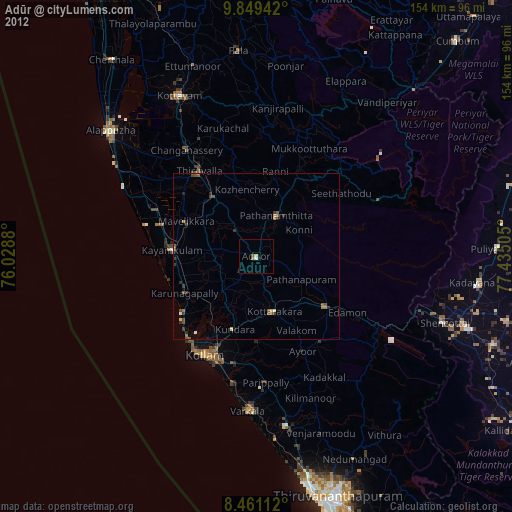
Adūr night lights from space
Night Light of Adūr (Kerala) from space (India) Src. Average luminocity for 10x10km area is 4.2879% and for 50x50km: 3.5082%.
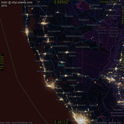
Analysis of Adūr night lights 2016
Square area 10x10 km:
 0%
0%90-99
0%80-89
0%70-79
0.87%60-69
1.73%50-59
0%40-49
0.22%30-39
2.38%20-29
3.68%10-19
1.52%0-9
89.61%Square area 50x50 km:
0.01%90-99
0.2%80-89
0.32%70-79
0.2%60-69
0.56%50-59
0.68%40-49
0.77%30-39
1.33%20-29
1.42%10-19
2.01%0-9
92.48%Clear (daylight) street map image can be seen on geolist.org.
Map coordinates:
9° 50' 57.9" North, 76° 1' 43.7" East
9° 9' 21.4" North, 76° 43' 54.9" East
8° 27' 40" North, 77° 26' 6.2" East
Some cities around Adūr sort by population:
• Kāyankulam
25.5 km =15.8 mi,  276°
276°
• Tiruvalla
30.4 km =18.9 mi,  325°
325°
• Punalūr
25.9 km =16.1 mi,  125°
125°
• Pathanāmthitta
13.5 km =8.4 mi,  24°
24°
• Ponmana
28.5 km =17.7 mi,  234°
234°
• Māvelikara
22.4 km =13.9 mi,  300°
300°
• Chengannūr
21.9 km =13.6 mi,  324°
324°
• Kattanam
18.7 km =11.6 mi, 276°
1279323 (p: 29,652)
Sources (retrieved 2019-11-25):
» Earth at Night: Flat Maps 2012, 2016