Ratanpur night lights from space
Night Light of Ratanpur (Chhattisgarh) from space (India) Src. Average luminocity for 10x10km area is 42.7898% and for 50x50km: 28.6346%.
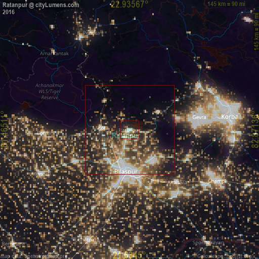
Analysis of Ratanpur night lights 2016
Square area 10x10 km:
 4.36%
4.36%90-99
6.82%80-89
6.06%70-79
4.92%60-69
5.49%50-59
9.66%40-49
8.71%30-39
9.09%20-29
12.31%10-19
28.22%0-9
4.36%Square area 50x50 km:
3.79%90-99
4.34%80-89
2.99%70-79
3.24%60-69
4.18%50-59
6.02%40-49
6.23%30-39
6.15%20-29
9.56%10-19
11.38%0-9
42.11%Clear (daylight) street map image can be seen on geolist.org.
Map coordinates:
22° 56' 8.4" North, 81° 27' 54.4" East
22° 17' 11.8" North, 82° 10' 5.6" East
21° 38' 4.2" North, 82° 52' 16.9" East
Some cities around Ratanpur sort by population:
• Bilāspur
23 km =14.3 mi,  183°
183°
• Jānjgīr
52.3 km =32.5 mi,  126°
126°
• Akaltara
39.4 km =24.5 mi,  137°
137°
• Katghora
45.4 km =28.2 mi,  58°
58°
• Takhatpur
35.4 km =22 mi,  240°
240°
• Kotā
14.9 km =9.3 mi,  273°
273°
• Lormi
48 km =29.8 mi, 268°
• Baloda
36.2 km =22.5 mi,  116°
116°
1258362 (p: 21,392)
Sources (retrieved 2019-11-25):
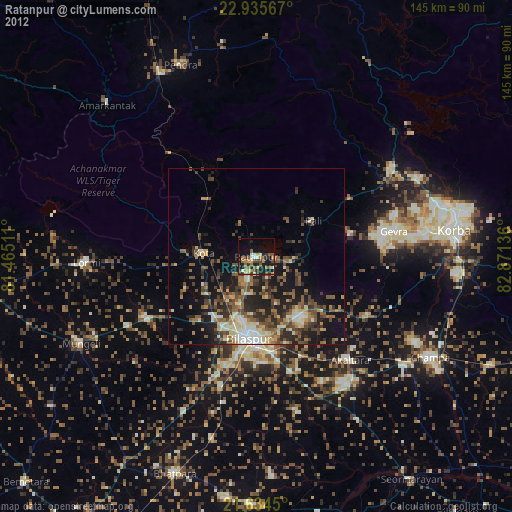
» Earth at Night: Flat Maps 2012, 2016