Pānīpat night lights from space
Night Light of Pānīpat (Haryana) from space (India) Src. Average luminocity for 10x10km area is 88.2841% and for 50x50km: 31.4781%.
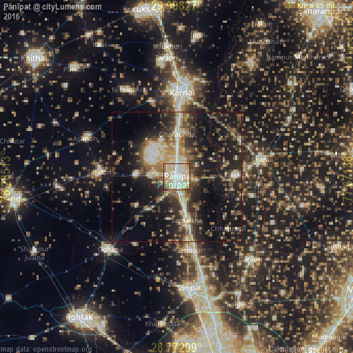
Analysis of Pānīpat night lights 2016
Square area 10x10 km:
 20.64%
90-99
35.98%80-89
27.65%70-79
5.11%60-69
5.49%50-59
2.27%40-49
1.7%30-39
1.14%20-29
0%10-19
0%0-9
0%Square area 50x50 km:
2.82%90-99
5.29%80-89
4.97%70-79
3.09%60-69
3.48%50-59
5.2%40-49
6.83%30-39
6.68%20-29
11.16%10-19
19.56%0-9
30.91%Clear (daylight) street map image can be seen on geolist.org.
Map coordinates:
29° 59' 53.8" North, 76° 15' 54.5" East
29° 23' 14.9" North, 76° 58' 5.7" East
28° 46' 22.8" North, 77° 40' 17" East
Some cities around Pānīpat sort by population:
• Shāmli
33.8 km =21 mi,  78°
78°
• Kairāna
23 km =14.3 mi,  87°
87°
• Kāndhla
30.3 km =18.8 mi,  104°
104°
• Samālkha
17.4 km =10.8 mi,  165°
165°
• Gharaunda
16.6 km =10.3 mi,  1°
1°
• Safidon
28.9 km =18 mi,  274°
274°
• Jhinjhāna
28.9 km =18 mi,  59°
59°
• Chhaprauli
28.1 km =17.5 mi,  134°
134°
1260476 (p: 292,808)
Sources (retrieved 2019-11-25):
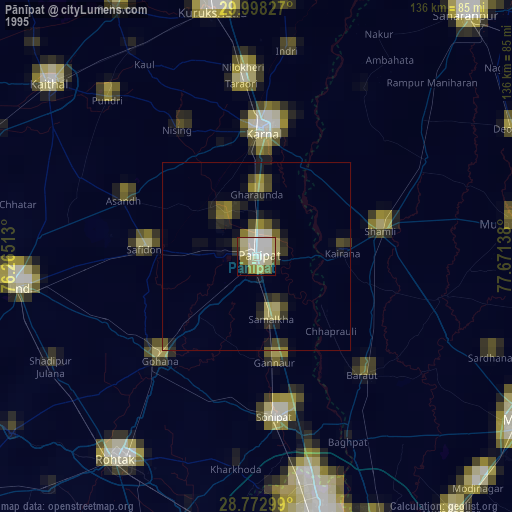
» NASA, Earths city lights 1995
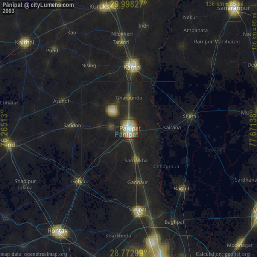
» NASA city lights 2003
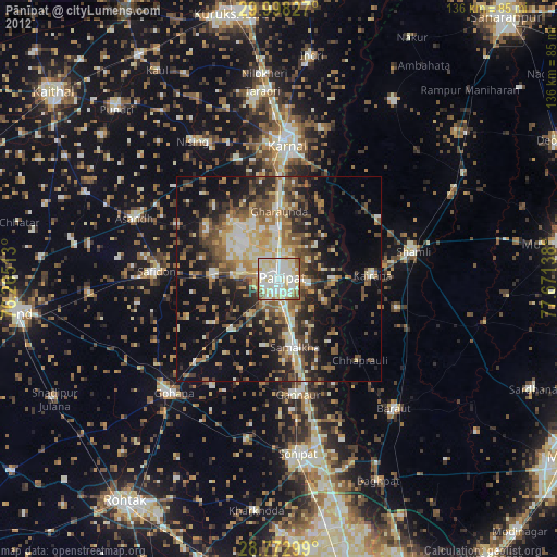
» Earth at Night: Flat Maps 2012, 2016