Gharaunda night lights from space
Night Light of Gharaunda (Haryana) from space (India) Src. Average luminocity for 10x10km area is 60.6667% and for 50x50km: 35.1652%.
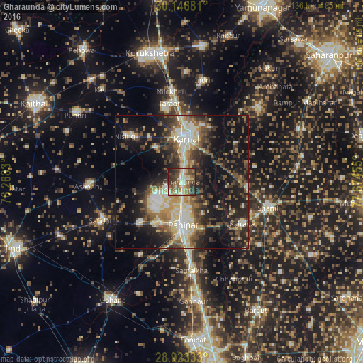
Analysis of Gharaunda night lights 2016
Square area 10x10 km:
 5.68%
5.68%90-99
14.77%80-89
7.58%70-79
5.87%60-69
13.45%50-59
14.58%40-49
14.96%30-39
14.96%20-29
7.01%10-19
1.14%0-9
0%Square area 50x50 km:
3.52%90-99
6.61%80-89
5.53%70-79
3.44%60-69
3.91%50-59
6.08%40-49
7.18%30-39
7.26%20-29
10.63%10-19
20.78%0-9
25.06%Clear (daylight) street map image can be seen on geolist.org.
Map coordinates:
30° 8' 48.5" North, 76° 16' 5.9" East
29° 32' 12.9" North, 76° 58' 17.1" East
28° 55' 24" North, 77° 40' 28.4" East
Some cities around Gharaunda sort by population:
• Pānīpat
16.6 km =10.3 mi,  181°
181°
• Karnāl
17.3 km =10.7 mi,  4°
4°
• Kairāna
27.6 km =17.1 mi,  124°
124°
• Safidon
32.6 km =20.3 mi,  243°
243°
• Jhinjhāna
24.6 km =15.3 mi,  94°
94°
• Nīlokheri
33.6 km =20.9 mi,  353°
353°
• Ūn
28 km =17.4 mi,  79°
79°
• Garhi Pūkhta
32.7 km =20.3 mi, 87°
1271363 (p: 34,307)
Sources (retrieved 2019-11-25):
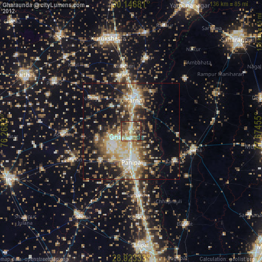
» Earth at Night: Flat Maps 2012, 2016