Shāmli night lights from space
Night Light of Shāmli (Uttar Pradesh) from space (India) Src. Average luminocity for 10x10km area is 51.7083% and for 50x50km: 28.741%.
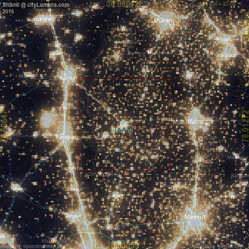
Analysis of Shāmli night lights 2016
Square area 10x10 km:
 5.68%
5.68%90-99
11.17%80-89
5.49%70-79
5.49%60-69
3.98%50-59
8.52%40-49
15.15%30-39
19.32%20-29
21.97%10-19
3.22%0-9
0%Square area 50x50 km:
0.93%90-99
2.26%80-89
2.14%70-79
2.55%60-69
3.66%50-59
5.62%40-49
8.62%30-39
7.99%20-29
14.89%10-19
39.38%0-9
11.95%Clear (daylight) street map image can be seen on geolist.org.
Map coordinates:
30° 3' 36.4" North, 76° 36' 23.3" East
29° 26' 58.9" North, 77° 18' 34.5" East
28° 50' 8.1" North, 78° 0' 45.8" East
Some cities around Shāmli sort by population:
• Kairāna
11.8 km =7.3 mi,  239°
239°
• Kāndhla
14.8 km =9.2 mi,  194°
194°
• Thāna Bhawan
18.4 km =11.4 mi,  34°
34°
• Banat
4.6 km =2.9 mi,  70°
70°
• Jhinjhāna
11.4 km =7.1 mi,  314°
314°
• Sisauli
15.9 km =9.9 mi,  104°
104°
• Ūn
15.9 km =9.9 mi,  340°
340°
• Garhi Pūkhta
11.1 km =6.9 mi,  359°
359°
1256671 (p: 97,966)
Sources (retrieved 2019-11-25):
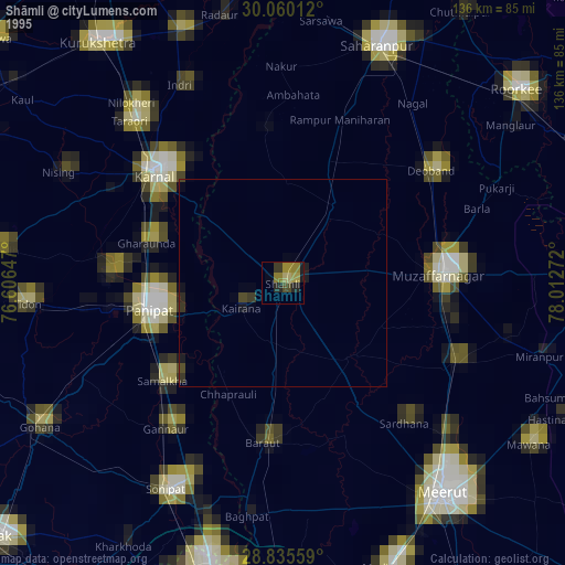
» NASA, Earths city lights 1995
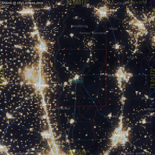
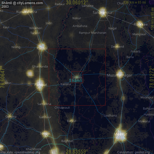
» NASA city lights 2003
» Earth at Night: Flat Maps 2012, 2016