Kāndhla night lights from space
Night Light of Kāndhla (Uttar Pradesh) from space (India) Src. Average luminocity for 10x10km area is 36.3636% and for 50x50km: 31.594%.
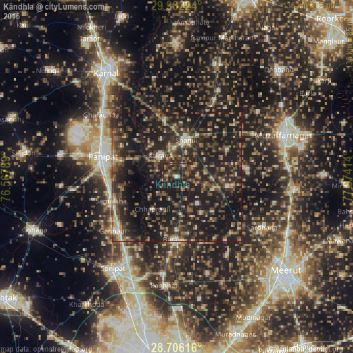
Analysis of Kāndhla night lights 2016
Square area 10x10 km:
 2.08%
2.08%90-99
2.84%80-89
1.33%70-79
2.08%60-69
7.01%50-59
6.82%40-49
13.64%30-39
13.07%20-29
24.43%10-19
26.7%0-9
0%Square area 50x50 km:
1.28%90-99
3.14%80-89
2.91%70-79
2.93%60-69
3.57%50-59
6.32%40-49
9.53%30-39
8.99%20-29
16.76%10-19
35.03%0-9
9.54%Clear (daylight) street map image can be seen on geolist.org.
Map coordinates:
29° 55' 56.1" North, 76° 34' 4.4" East
29° 19' 15.7" North, 77° 16' 15.6" East
28° 42' 22.2" North, 77° 58' 26.9" East
Some cities around Kāndhla sort by population:
• Shāmli
14.8 km =9.2 mi,  14°
14°
• Kairāna
10.4 km =6.5 mi,  322°
322°
• Budhāna
20.1 km =12.5 mi,  100°
100°
• Banat
17.8 km =11.1 mi,  27°
27°
• Jhinjhāna
22.7 km =14.1 mi,  348°
348°
• Chhaprauli
15.5 km =9.6 mi,  217°
217°
• Sisauli
21.8 km =13.5 mi,  61°
61°
• Tīkri
13.1 km =8.1 mi,  141°
141°
1268138 (p: 43,387)
Sources (retrieved 2019-11-25):
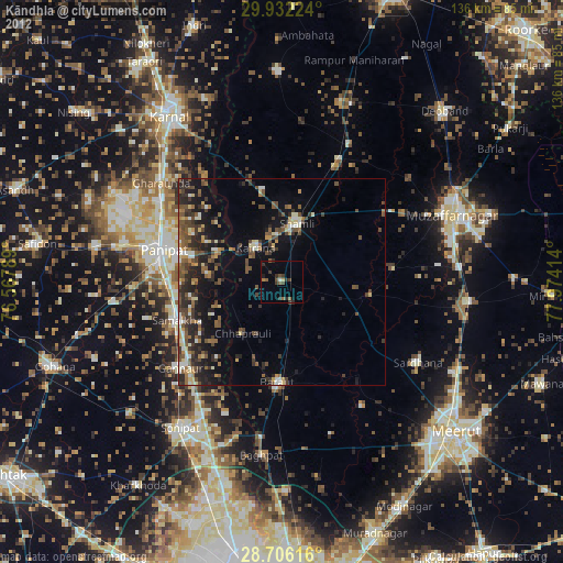
» Earth at Night: Flat Maps 2012, 2016