Devadānappatti night lights from space
Night Light of Devadānappatti (Tamil Nadu) from space (India) Src. Average luminocity for 10x10km area is 1.3347% and for 50x50km: 4.0086%.
Analysis of Devadānappatti night lights 2016
Square area 10x10 km:
 0%
0%90-99
0%80-89
0%70-79
0%60-69
0%50-59
0%40-49
0%30-39
0.21%20-29
2.27%10-19
2.07%0-9
95.45%Square area 50x50 km:
0.01%90-99
0.13%80-89
0.41%70-79
0.88%60-69
0.49%50-59
0.81%40-49
0.99%30-39
0.78%20-29
1.42%10-19
1.25%0-9
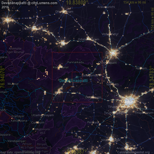
92.84%Clear (daylight) street map image can be seen on geolist.org.
Map coordinates:
10° 50' 17.1" North, 76° 56' 26.8" East
10° 8' 48.2" North, 77° 38' 38" East
9° 27' 13.9" North, 78° 20' 49.3" East
Some cities around Devadānappatti sort by population:
• Teni
23.6 km =14.7 mi,  230°
230°
• Periyakulam
11.3 km =7 mi,  256°
256°
• Kodaikānāl
19.8 km =12.3 mi,  301°
301°
• Usilampatti
25.1 km =15.6 mi,  141°
141°
• Āndippatti
16.7 km =10.4 mi,  188°
188°
• Vattalkundu
12.7 km =7.9 mi,  82°
82°
• Nilakottai
22.7 km =14.1 mi, 84°
• Elumalai
31.9 km =19.8 mi,  169°
169°
1273132 (p: 14,190)
Sources (retrieved 2019-11-25):
» Earth at Night: Flat Maps 2012, 2016