Pakur night lights from space
Night Light of Pakur (Jharkhand) from space (India) Src. Average luminocity for 10x10km area is 43.623% and for 50x50km: 16.0592%.
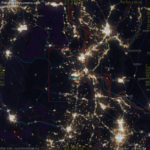
Analysis of Pakur night lights 2016
Square area 10x10 km:
 3.97%
3.97%90-99
9.72%80-89
4.96%70-79
7.74%60-69
5.16%50-59
5.36%40-49
8.53%30-39
5.56%20-29
20.24%10-19
22.82%0-9
5.95%Square area 50x50 km:
1.31%90-99
1.9%80-89
1.37%70-79
1.48%60-69
1.93%50-59
2.87%40-49
3.59%30-39
3.62%20-29
6.14%10-19
14.15%0-9
61.63%Clear (daylight) street map image can be seen on geolist.org.
Map coordinates:
25° 16' 36.2" North, 87° 8' 21.4" East
24° 38' 21.3" North, 87° 50' 32.6" East
23° 59' 54.7" North, 88° 32' 43.9" East
Some cities around Pakur sort by population:
• Nawābganj, BD
44 km =27.3 mi,  97°
97°
• Jangipur
30.3 km =18.8 mi,  128°
128°
• Dhuliān
12.2 km =7.6 mi,  67°
67°
• Shibganj, BD
32.1 km =19.9 mi,  80°
80°
• Lālgola
48 km =29.8 mi,  120°
120°
• Nalhāti
38.1 km =23.7 mi,  182°
182°
• Farakka
20.6 km =12.8 mi,  16°
16°
• Rājmahal
46 km =28.6 mi,  358°
358°
1260824 (p: 45,840)
Sources (retrieved 2019-11-25):
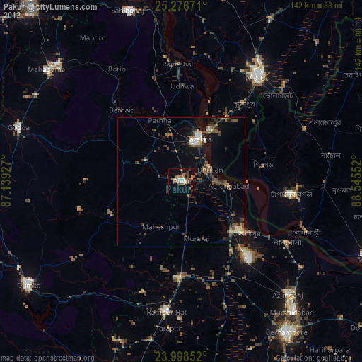
» Earth at Night: Flat Maps 2012, 2016