Nalhāti night lights from space
Night Light of Nalhāti (West Bengal) from space (India) Src. Average luminocity for 10x10km area is 29.8731% and for 50x50km: 13.9314%.
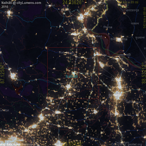
Analysis of Nalhāti night lights 2016
Square area 10x10 km:
 2.46%
2.46%90-99
2.84%80-89
4.17%70-79
3.03%60-69
1.7%50-59
7.2%40-49
6.44%30-39
5.3%20-29
5.68%10-19
52.27%0-9
8.9%Square area 50x50 km:
0.64%90-99
1.12%80-89
1.03%70-79
0.7%60-69
1.4%50-59
2.98%40-49
4.23%30-39
3.71%20-29
4.68%10-19
15.15%0-9
64.35%Clear (daylight) street map image can be seen on geolist.org.
Map coordinates:
24° 56' 10.5" North, 87° 7' 33.1" East
24° 17' 49.3" North, 87° 49' 44.4" East
23° 39' 16.5" North, 88° 31' 55.6" East
Some cities around Nalhāti sort by population:
• Jangipur
31.6 km =19.6 mi,  52°
52°
• Dhuliān
44.5 km =27.7 mi,  16°
16°
• Kāndi
43.2 km =26.8 mi,  150°
150°
• Rampur Hat
14.1 km =8.8 mi,  199°
199°
• Pakur
38.1 km =23.7 mi,  2°
2°
• Sainthia
41.6 km =25.8 mi, 201°
• Murshidābād
46.6 km =29 mi,  105°
105°
• Lālgola
45.1 km =28 mi,  71°
71°
1262065 (p: 25,878)
Sources (retrieved 2019-11-25):
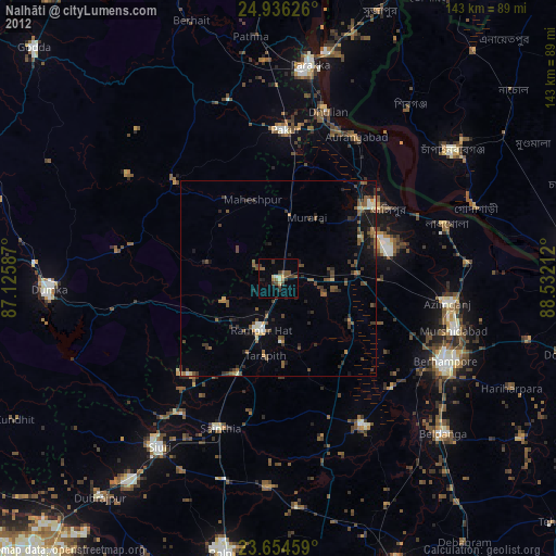
» Earth at Night: Flat Maps 2012, 2016