Padmanābhapuram night lights from space
Night Light of Padmanābhapuram (Tamil Nadu) from space (India) Src. Average luminocity for 10x10km area is 26.8843% and for 50x50km: 12.1674%.
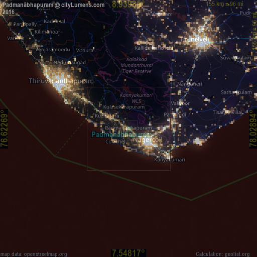
Analysis of Padmanābhapuram night lights 2016
Square area 10x10 km:
 0.41%
0.41%90-99
0.41%80-89
0.21%70-79
3.31%60-69
5.58%50-59
7.02%40-49
11.16%30-39
10.95%20-29
11.78%10-19
23.14%0-9
26.03%Square area 50x50 km:
0.8%90-99
1.09%80-89
0.85%70-79
1.09%60-69
2%50-59
1.84%40-49
3.23%30-39
4.01%20-29
4.28%10-19
11.47%0-9
69.32%Clear (daylight) street map image can be seen on geolist.org.
Map coordinates:
8° 56' 23.5" North, 76° 37' 21.7" East
8° 14' 40.6" North, 77° 19' 32.9" East
7° 32' 53.4" North, 78° 1' 44.2" East
Some cities around Padmanābhapuram sort by population:
• Nāgercoil
13.8 km =8.6 mi,  121°
121°
• Neyyāttinkara
31.5 km =19.6 mi,  302°
302°
• Colachel
10.4 km =6.5 mi,  225°
225°
• Kuzhithurai
16.8 km =10.4 mi, 298°
• Kanniyākumāri
29 km =18 mi,  126°
126°
• Suchindram
18.5 km =11.5 mi, 122°
• Manavālakurichi
11 km =6.8 mi,  191°
191°
• Eraniel
4.4 km =2.7 mi, 192°
1260918 (p: 20,212)
Sources (retrieved 2019-11-25):
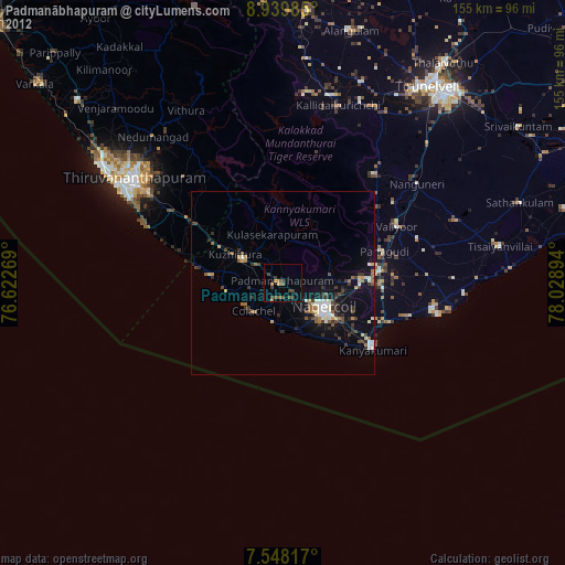
» Earth at Night: Flat Maps 2012, 2016