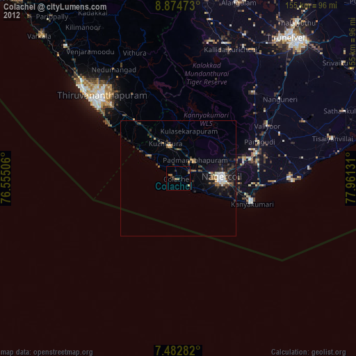
Colachel night lights from space
Night Light of Colachel (Tamil Nadu) from space (India) Src. Average luminocity for 10x10km area is 13.0331% and for 50x50km: 10.1811%.
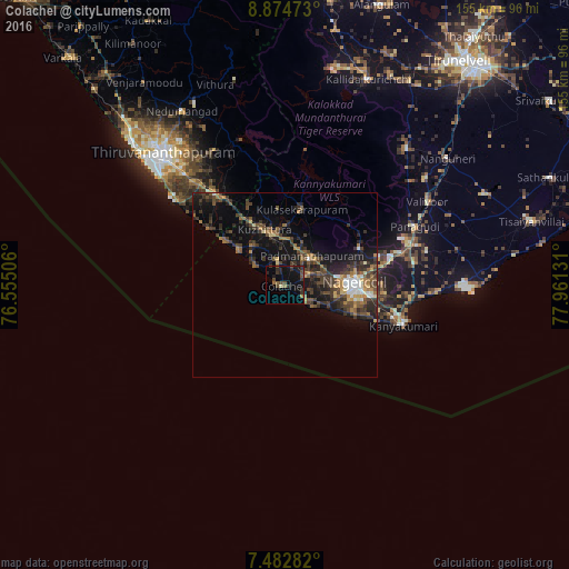
Analysis of Colachel night lights 2016
Square area 10x10 km:
 0%
0%90-99
0.21%80-89
0.62%70-79
0%60-69
2.27%50-59
2.27%40-49
4.55%30-39
5.37%20-29
5.17%10-19
17.36%0-9
62.19%Square area 50x50 km:
0.65%90-99
0.81%80-89
0.65%70-79
0.99%60-69
1.77%50-59
1.5%40-49
2.84%30-39
3.7%20-29
3.63%10-19
8.45%0-9
75.03%Clear (daylight) street map image can be seen on geolist.org.
Map coordinates:
8° 52' 29" North, 76° 33' 18.2" East
8° 10' 45.8" North, 77° 15' 29.4" East
7° 28' 58.2" North, 77° 57' 40.7" East
Some cities around Colachel sort by population:
• Nāgercoil
19.2 km =11.9 mi,  90°
90°
• Neyyāttinkara
30.9 km =19.2 mi,  322°
322°
• Kuzhithurai
17 km =10.6 mi,  334°
334°
• Kanniyākumāri
32.4 km =20.1 mi,  107°
107°
• Padmanābhapuram
10.4 km =6.5 mi,  45°
45°
• Suchindram
23.2 km =14.4 mi,  96°
96°
• Manavālakurichi
6.3 km =3.9 mi,  124°
124°
• Eraniel
7.1 km =4.4 mi,  65°
65°
1266322 (p: 23,095)
Sources (retrieved 2019-11-25):
» Earth at Night: Flat Maps 2012, 2016