Padam night lights from space
Night Light of Padam (Ladakh) from space (India) Src. Average luminocity for 10x10km area is 0% and for 50x50km: 0%.

Analysis of Padam night lights 2016
Square area 10x10 km:
100  0%
0%
90-99 0%
80-89 0%
70-79 0%
60-69 0%
50-59 0%
40-49 0%
30-39 0%
20-29 0%
10-19 0%
0-9 100%
0%90-99
0%80-89
0%70-79
0%60-69
0%50-59
0%40-49
0%30-39
0%20-29
0%10-19
0%0-9
100%Square area 50x50 km:
100 0%
90-99 0%
80-89 0%
70-79 0%
60-69 0%
50-59 0%
40-49 0%
30-39 0%
20-29 0%
10-19 0%
0-9 100%
0%90-99
0%80-89
0%70-79
0%60-69
0%50-59
0%40-49
0%30-39
0%20-29
0%10-19
0%0-9
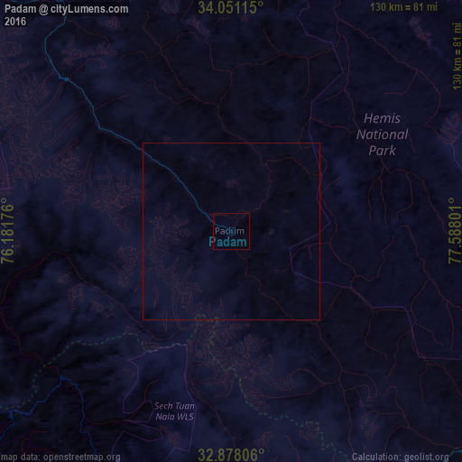
100%Clear (daylight) street map image can be seen on geolist.org.
Map coordinates:
34° 3' 4.1" North, 76° 10' 54.3" East
33° 27' 59.7" North, 76° 53' 5.6" East
32° 52' 41" North, 77° 35' 16.8" East
Some cities around Padam sort by population:
• Leh
101 km =62.8 mi,  39°
39°
• Chamba
123.6 km =76.8 mi,  214°
214°
• Kishtwār
105.1 km =65.3 mi,  260°
260°
• Doda
129.2 km =80.3 mi,  254°
254°
• Kyelang
100.3 km =62.3 mi,  172°
172°
• Bhadarwāh
121.4 km =75.4 mi,  243°
243°
• Manāli
137.1 km =85.2 mi, 168°
• Dalhousie
134.1 km =83.3 mi,  220°
220°
1260942 (p: 25,000)
Sources (retrieved 2019-11-25):
» Earth at Night: Flat Maps 2012, 2016